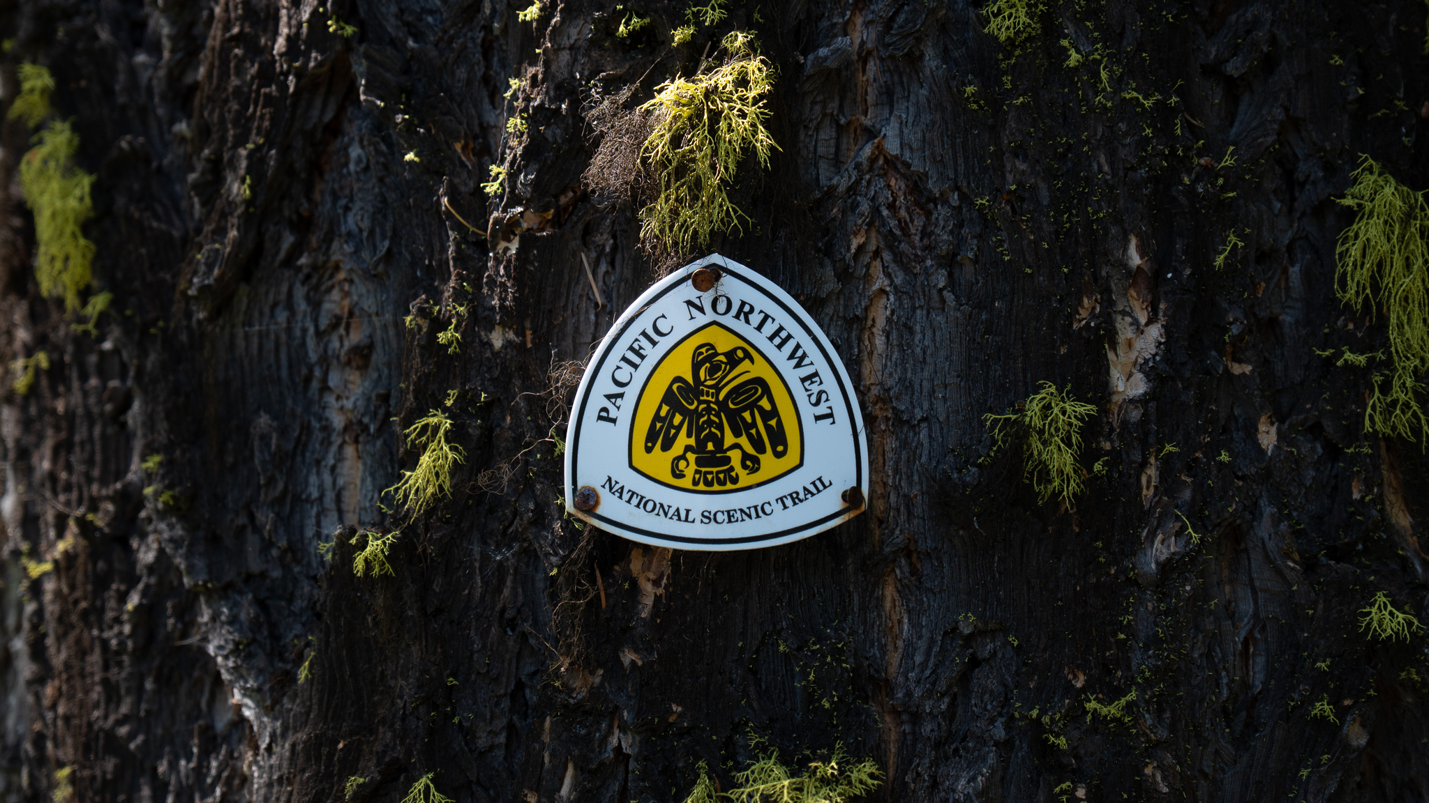
Bogachiel State Park, WA to Cape Alava, WA
Section Overview
- Miles: 63.9
- Days: 3
- Total Miles: 1,181.9
- Total Days: 54
Day 52
Leaving the state park, I immediately found myself out on a major road once again. Route 101 was thankfully broad and relatively empty early in the morning. My thoughts were less consumed by the roadwalking and more focused on wondering where I would end up that night. I had a bit over 60 miles left in the trail, but there were multiple points of uncertainty along the coast that could disrupt my planned itinerary. Looking at the tide chart the ranger had given me in Port Angeles, it was clear I would likely be stopped by a restriction as soon as I reached the coast. Diamond Rock had a restriction of 2 feet and, much to my dismay, it wouldn’t drop below 2 feet until early the next morning. The best I would get that day was 3.1 feet at 6:11PM.

After a bit of worrying, I did my best to put Diamond Rock out of my head and focus on the roadwalking I head in front of me to reach the coast. I left Route 101 and headed west toward the coast. I passed over dirt and gravel as I moved through a wide swath of DNR land. At some point I passed by a pickup truck parked on a particularly dark and secluded stretch. I passed by quietly, unsure if someone was asleep in the bed or not.
Eventually I popped out of the DNR land and was immediately met with “No Trespassing” signs on either side of the road. Soon after I passed over Goodman Creek and realized I was two miles directly east of the coast and would be crossing the same creek the next day. instead of continuing toward the coast, the trail headed southeast toward Oil City road on the bank of the Hoh River, which added over 20 miles to reach Goodman Creek on the coast.
Finally, after about 19 miles, I reached Oil City Road and turned west again. The road was no different than most of what I had been on throughout the day, but I was met with a jolt of excitement. Oil City Road was the final road walk of the entire trail. It was funny that it was such an important milestone considering the coast was only a few miles away and the end of the entire trail was less than 50 miles away. But roads had been one of the defining features of the trail, accounting for at least a couple hundred miles since I left Glacier.
No long after hitting Oil City Road, I dropped down to the bank of the Hoh River. It was shallow and quick moving, claiming a broad stretch of land just before it hit the ocean. Two days ago I was standing high in the Olympics staring at the glaciers that feed into the river.


As I walked, I slowly became more aware of the sound of the ocean. At first the crashing waves just sounded like a dull roar growing louder as I approached. Soon the gravel road gave way to a dirt parking lot, marking the end of the final road walk and a return to the national park.
I stepped through the parking lot onto a thin trail, which the Hoh was close to eroding away, and, though some tree branches got my first view of the Pacific. The rhythmic pounding of the waves was loud now, drowning out the birds, blowing trees, and my footsteps I had been listening to all day. The salty air filled my lungs as I stopped and stared at the massive sea stacks jutting out of the sparkling water.
I followed the trail, which soon changed into soft sand covered by old trees brought down from the mountains and unceremoniously dumped on the beach by the Hoh. Across a bit of brackish water, thousands of birds sat on a spit of beach right at the mouth of the Hoh River.
I made my way toward the edge of the water through a maze of logs and random shelters that people had thrown together. I paused before the water and sat on a log, turning my attention to Diamond Rock, which wasn’t too far in front of me. It was around 5PM and the water was headed out, which made the passing look potentially manageable. I waited for 30 minutes in the heat before deciding to check out the headwall to see if I might be able to get around it.


I was a bit uncertain as the sand transitioned into smooth rocks. I was hoping the tidal restrictions from the park were very conservative, but I would have no way of knowing until I was in the middle of the headwall. The first stretch turned out to be very straight forward. I moved through the rocky outcrop staying dry other than a faint mist coming off the water. The second outcrop turned out to be a bit more of a challenge. The rocks that weren’t covered in water were large and I found myself scrambling up and over them as the waves pushed into every gap below me.
I certainly wouldn’t have been swept away if I had slipped off the rocks, but I was still happy to find everything I was clambering over was grippy and made the couple of scrambling moves I had commit to feel easy. It was a bit awkward getting down from the rocks to the beach on the other side, but I managed without incident and continued on the hidden beach on the other side, with new confidence I would be able to manage whatever restrictions lay ahead.


I made my way across the stretch of beach between Diamond Rock and Hoh Head, enjoying the fresh spray coming off the ocean. There had been a few cars at the Oil City Trailhead, but any trace of the people who had traveled through that morning had been washed away by the high tide.
As I traveled across the firm sand, I began noticing more pain in my foot. The sand collapsing slightly under every step seemed to be causing more of an issue for whatever I had done to my foot in Idaho than the surfaces I had been on.
I reached the north end of the beach and was met with the first headwall I absolutely couldn’t get around. Thankfully, for these scenarios, ladders with ropes where installed to climb up to trails in the woods above the beach. I scaled the steep embankment and was dropped into thick growth, consuming a surprising amount of light.
The rest of my day was spent traveling along the inland trail. Occasionally I would get a small glimpse of the ocean, but mostly I was only joined by the sound of the waves.
I reached Mosquito Creek Campground when the sun was low in the sky. I passed by a large group of young campers out on a trip and found a secluded and private spot to set up my shelter, which I was pleased to find out was not infested with mosquitos. I found a pool of tannin heavy water, filled up for the night and the next morning and stepped away from my small camp to enjoy the sun dropping behind the horizon.


Day 53
I woke up having concocted the idea to try and push the final 35 miles of the trail in one day to spend the night at the Cape Alava Campground. Spending an evening watching the sunset with no official trail miles to hike the next day seemed like an ideal way to finish out a trail. The remaining miles on the trail seemed doable, but tide restrictions, a town stop to grab some extra food, and a river crossing all lay between me and the terminus.
I started the day off by headlamp, descending immediately back down to the beach. I passed some tents, but no one seemed to be stirring and with the roaring tide I didn’t have much concern of waking them. The beach was eerie in the early morning. Everything was shrouded in mist coming off the ocean and soon where I had camped disappeared leaving me suddenly very alone in the dark morning.


I had about 10 miles of beach and trail before I turned more inland to head to La Push. It was slower going than I expected. Sometimes the beach was firm and easy to walk on, but often it was collapsing under my feet causing my right foot to ache more and more as the day went on.
I passed Goodman Creek on an overland trail and just as I was about to drop down I was greeted with a sweeping view of the beach leading to Toleak Point. I enjoyed the view for a bit, watching the sun creep closer to the beach before dropping down the steep headwall – assisted by ropes – to the sand.
As I moved toward Toleak Point, a figure ahead of me came into view, walking south toward me. After a quick greeting, the backpacker pointed out a whale carcass on the beach just ahead of me that I hadn’t noticed. We parted ways and I headed right to the decaying animal. It had clearly been there for awhile. It still smelled horrible, but it was being claimed by the beach. All that remained was some skin and the giant skeleton.


As I moved north, closer to La Push, the number of campsites increased and grew more put together by marine debris. As buoys, wood, and other random trash washed up on the shores, backpackers had collected it and turned the camps into strangely built out sites. Some even included swings and benches for lounging.
Eventually after passing a few points jutting out into the ocean and scaling up steep headwalls to get around bluffs, I turned inland and followed the trail out to La Push road. I reached the trailhead and was met with the road that leads into town. I glumly started hiking along the shoulder, lamenting my celebration the day before thinking Oil City Road was my final road walk. Thankfully, a path on the side of the road soon appeared and I was able to relax and not think about dodging cars whizzing by.
La Push soon emerged from the trees and I stopped in at the Lonesome Creek Store to stock up on some food to reach the end of the trail. It was essentially gas station food, but I was able to get some hot food, cold drinks, and a few extra calories for the final 22 miles left to Cape Alava. I even packed out a beer to enjoy for my final night.


I left the general store and headed toward the Harbor Master’s office on the Quillayute River. The official PNT trail requires crossing the river by getting a ride across from someone at the office or getting lucky with a fisherman at the marina. I’m not sure how uncommon it is to get a ride, but I was nervous heading into the office. If I couldn’t secure a ride, I would have to backtrack on La Push road and head inland to get to the only bridges across the water, adding an additional 9 or 10 miles from the marina.
I walked into the Harbor Master’s office and was greeted quickly. My nerves were calmed almost immediately when the Harbor Master told me a ride wouldn’t be an issue. I hung out in the office talking with him about the trail and PA – somehow he knew the town I am from – while waiting to be taken across.
After only about 10 miles, a harbor worker came out from the back and I followed him down to the water where we hopped in a small speed boat. We motored across the river and I was quickly dropped off on the rock jetty. After giving Albert (or Arthur, unfortunately I can’t remember) some cash for the trip across that saved me 3-4 hours of road walking, I hopped up the rocks and onto the trail built on the jetty, and headed north toward Rialto Beach still hoping to reach Cape Alava before the sun went down.


On the north side of the Quillayute the number of tourists suddenly jumped. There’s a famous “hole in the wall” feature not far up the beach from the parking lot and many people hike and camp in the area to see it. I passed close by day hikers and many tents as the high tide consumed most of the beach, which had now shifted from sand to large stones, making it even more difficult to walk on.
The high tide was filling in the famous feature, hiding the tide pools that form in the rocky bed around the hole, so I made my way up and over the land jutting out into the water and continued on. On this side of the Hole in the Wall, there were noticeably fewer people. I passed a group of backpackers as I approached Cape Johnson, which had a four foot tide restriction. After investigating the worst part of the headland, I decided I wouldn’t be able to scramble around the headwall without getting wet. I could see the slick rock about a foot below the ebbing and flowing tide, but without a way to get down without jumping, I wasn’t sure I could safely get into the water without slipping. I backtracked to the beach and hid from the beating sun for about an hour under a small patch of shade.


As I continued north, my hopes for reaching Cape Alava slipped farther and farther away. The combination of the brutal heat with little to no coverage and the pain in my foot steadily increasing was slowing my pace down substantially. I only had 16 miles from Cape Johnson to the end of the trail, but I resigned myself to sticking to my itinerary and ending my day at Norwegian Memorial Camp about 5 miles away.
The route there stayed mostly on the beach, occasionally climbing up and over impassable headwalls jutting out into the ocean. Before reaching my camp for the night, I passed by massive sea stacks that, according to my maps, counted as full blown islands. More were hidden 2 miles off the coast by the haze coming from the ocean, making up part of the Quillayte Needles National Wildlife Refuge.


Eventually I reached the beach Norwegian Memorial Camp was on and, after passing a small stream carving its way out of the woods, though the sand, and into the ocean, I decided to call it a day. I was about 11 miles from the end and had no real reason to rush or night hike to get to the end.
I found a particularly crazy campsite that had multiple tables, benches, and decorations built from marine debris and set up my shelter to enjoy the final sunset on trail. The sky was clear of clouds and was soon burning red and orange as the sun disappeared beyond the horizon.


Day 54 – The End?
My final day started on the firm sand beach I had finished on the day before, but quickly shifted to smooth wet rocks that slowed my early morning pace to a crawl. I moved through slick rocks, dodging pools of water left behind by the high tide and trying to avoid slipping on the algae coating the beach.
My sluggish pace in the cool morning continued for hours as the shade I was enjoying was slowly eroded away by the rising sun. I passed around some headlands without much issue and climbed over some others as Cape Alava grew closer and closer. The difficult terrain wasn’t all bad, though. The lack of people around made the wildlife come out. I saw crows, a bald eagle, sea otters, and even a massive golden eagle. Eventually after about 4 miles of dealing with the rocks, I came around a headwall and the beach widened and changed to a brilliant white sand stretching out toward the aptly named Sand Point.


As I approached Sand Point my pace and the number of day hikers dramatically increased. The firm sand was much easier to walk on and even though my right foot was voicing its continued discomfort – the worst it had been since I injured it in Idaho – I suddenly felt a surge of excitement from my proximity to the end of the trail. I even got a glimpse of what I believed to be Cape Alava way in the distance.
For a little while, I was brought back to my childhood, walking along the sandy beaches on Cape Cod. My family would visit every year and often we would spend hours walking along the beach as far as we could during low tide, exploring tide pools and finding bleached sand dollars to bring back home. The rocks, however soon came back reminding me I was in a dramatically different part of the country.
Before reaching the end, I was surprised by yet another small gift the trail provided. I was moving around a headwall and came face to face with petroglyphs of orca whales and faces caved into a large rock. I later learned they were carved 200-500 years ago by the ancestors of the Makah Tribe.
It was hard to not lose focus on the petroglyphs – apparently I missed quite a few – with Cape Alava being only a mile away. The final stretch of the trail felt strange. It felt like the longest mile of the trail. A tiny percentage of the hiking I had done that felt like it carried more weight then all the miles before.
Suddenly, I was standing at Cape Alava.
It’s hard to describe the feeling of reaching the end of the trail. The excitement that was building over the last mile was gone. It wasn’t replaced by sadness or happiness. It was just done.


I spent some time at the terminus of the trail. There was no monument, no one congratulating. It was just a normal beach with a few day hikers and backpackers enjoying a summer weekday. It was a fitting end to a trail most people have no clue exists.
I probably could have spent the rest of the day on the beach, trying to process the fact I didn’t have to wake up and hike the next day, but the next hurdle – getting home – slowly crept into my brain. I grabbed my backpack and began the three mile walk to the nearest parking lot, where I hoped I could get a ride back east.
I’m writing this a couple years later. The trail feels distant, but still important. I think about the simplicity and freedom of thru hiking more frequently than I expected I would. I think about the CDT and how I want to return and hike the whole thing. I think about the muggy evenings on the PNT, trying to eat dinner quickly to get out of the clouds of mosquitos trying to feast on me. I think about the sunsets and sunrises and the close encounters with cars and bears.
Most of all, though, I think about the North Cascades. The stretch of trail my feet did not cover due to the closure. This year I’m finally heading back to tackle the final section. However, I won’t be alone. My friends and I are planning a full east-to-west traverse of the NCNP through some of the most rugged terrain in the contiguous US. If all goes to plan, it will officially be the final chapter on the PNT for me.
Gallery


