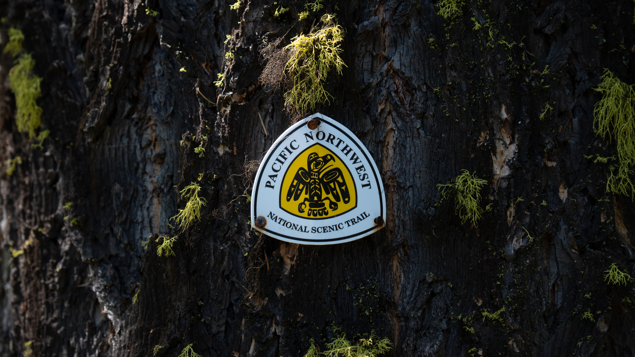
Port Angeles, WA to Bogachiel State Park, WA
Section Overview
- Miles: 76.7
- Days: 3
- Total Miles: 1,118
- Total Days: 51
Day 49
My morning in Port Angeles was a whirlwind. I said goodbye to Denise (who headed back to Port Townsend on the bus), walked to Safeway to grab a resupply, and then grabbed a bus to with WIC to get permits for the rest of the trail. Thankfully, I had no issues getting permits and, after the ranger handed me a tide sheet for the stretch of trail on the coast, I left the WIC to find a ride into the park.
I wasn’t having much luck until finally a French woman pulled off and offered to take me up to Hurricane Ridge – somehow this was my third European who’d offered me a hitch on this hike. Unfortunately, a long line of people were trying to get into the park and we watched a ranger walk down the line of cars informing each group that only a few more cars were going to get past the entrance up to the ridge due to car limits. I hopped out of the car, thanked the woman, who had decided to head to a different part of the park, and walked through the entrance into the park.
Unfortunately for me, Hurricane Ridge was still 12 miles away up the road and the shuttle wouldn’t be there for quite some time. I put my thumb out and hopped. The final few cars through the entrance past by without a glance as my hope waned. Then the last car through the entrance pulled off and offered to take me up. I had lucked out with a couple visiting the PNW from the east coast who knew they were my last option.
After explaining what I was doing and talking up Obstruction Point (which is definitely a better hiking destination than Hurricane Ridge), they decided to head there themselves and take me all the way to my starting point for the day. Once we reached Obstruction Point, I thanked the guys for taking me all the way and immediately started back towards Hurricane Ridge along the dusty road, happy to once again be amongst the mountains.


I didn’t have too much time to take photos, though as it was already 12:00PM and I had 25 miles to hike to reach camp. I started making quick work of the easy road until a car pulled up next to me. It turned out to be two PNT trail angels who just happened to be out hiking. They asked if I needed anything and looked disappointed enough when I initially declined that I decided to accept that I would likely be night hiking and decided to accepted some cold drinks. A heat wave was passing through and I have to admit I was quite happy to be hanging with them drinking a cold soda for a bit.
A quick stop turned into about 30 minutes of chatting about the trail and the hikes they were doing before I insisted I needed to get moving. They gave me one last cold soda and took off down the road. I followed slowly behind them, enjoying the sugar rush from a couple Cokes.
It was now nearing 1PM and I still had about 24 miles left in the day. I barely stopped as I reached Hurricane Ridge and the remnants of the visitors center that had burned to the ground a few months before from a fire that only left the brick chimneys behind. I followed the road away from the main part of Hurricane Ridge to a paved trail with a rather large warning posted that a mountain lion in the had recently attacked a child (thankfully the child was unharmed) at a lake nearby and that hikers shouldn’t be out alone.
Eventually I left the paved trail and all of the day hikers behind, trading them for a narrow single track trail that gave me a view of the full descent I was starting to the Elwha River.


I started the low descent, occasionally shifting into a light jog until I lightly rolled my ankle in a hole hidden by some grass. I slowly down a bit, not wanting to get injured just to reach camp a bit earlier. The idea a cougar was roaming the area after attacking someone kept me a bit on edge as I dropped lower into the valley.
As I dropped lower, I could feel the heat rising. Even though I was in the mountains, I could feel a bit of the heatwave moving through the region. I was happy to be in the Olympics and not a drier stretch of the trail.
As I reached the end of the long descent, I popped out onto a road, rejoining the official PNT, and headed to the bridge to cross the Elwha and began heading up the abandoned road toward where the old Glines Canyon Dam used to be. I didn’t stop in to read the signs because I had been to the site before, but it marks the spot where a 210-foot dam was removed (along with a smaller dam lower down the river), that freed the Elwha River to flow from its headwaters all the way to the Strait just west of Port Angeles. Thankfully, even after 100 years of being dammed, the ecosystem rebounded remarkably quickly.
Even though the descent had hit my quads hard, I was making good time without having to do much climbing and took a brief pause to look back across the valley at the “hill” I had descended.

I continued up the road toward the Boulder Creek Trailhead and as I rounded a bend a group of five or six hikers came into view. I was quickly approaching them and did my best to announce my presence before I was right on top of them. We talked a bit while walking – they were also headed to the Boulder Creek/Olympic Hot Springs Campground. Eventually I left them to their own conversations and sped up to reach camp as quickly as I could. I only had a few miles left and was exhausted from the torrid pace I held most of the day.
Not long after leaving the hikers, I reached the end of the abandoned road and traded the pavement for a broad trail. At some point this was probably one of the most popular trailheads in the park, giving easy access to backcountry hot springs, but shutting down the road tacked on an additional 6 miles of climbing that would have to be hiked or biked. I was happy to be back on a trail and marveled the seemingly ancient signs of human intervention in the area. Massive blocks of concrete were visible that used to support a bridge over a particularly steep wash, that now was crossed with a narrow trail.
I reached Boulder Creek Camp a bit after 8PM, which meant I had covered the 25 miles that day in about 8 hours, not including the time I lost talking to the trail angles near Obstruction Point. I was happy to have covered the miles so quickly, but really only so I would get a full nights sleep.
I quickly made camp and sat down on a log, disturbing a mouse that had been hiding in it, to eat dinner. The party I had passed soon rolled into camp and said a quick hello before they went to find their own spot to set up. I didn’t last long after finishing dinner and headed to bed.
Day 50
I had a slow start to the morning. One of the group I had me the night before what up and about and came down from their camp to talk a bit while I packed up. He had a lot of questions about gear and logistics and I did my best to answer them while stuffing everything into my pack. In the moment, I don’t think I appreciated his interest in what I was doing. I was distracted by the realization I was nearing the end of my trip. I still had a bit of 100 miles left, but that felt like nothing. Including the CDT, I had hiked over 1800 miles already. Even in the middle of a conversation I felt waves of excitement and fear passing over me. Maybe it was spending an extended bit of time with Denise, which felt like normal life, but I wasn’t totally sure why it was hitting me then.
I left Boulder Creek Camp and the inquisitive backpacker behind and headed west along the valley, which would take me to one of the most popular places in the Olympic National Park – Seven Lakes Basin and the High Divide. The trail changed dramatically not long after leaving camp. The broad, well trodden path gave way to a narrow single track surrounded by trees so tall and thick they blocked out a good portion of the sunlight.
The dark forest eventually gave way to fields of alpine flowers and buzzing bees as I started the climb toward Appleton Pass, which marked the northern wall of the Seven Lakes Basin. Somewhere along the climb a bee caught my eye pushing itself into a flower that had closed for the night. I’m not sure why, but I decided to sit and wait until the small bee reemerged from the brilliant blue flower, covered in pollen.


The steep trail gave way to Appleton Pass, which brought back alpine views and other backpackers. It felt a bit strange seeing so many people day after day. It stripped away a bit of the feeling of wilderness, but simply seeing people and saying a quick hello seemed to give me a bit of an energy boost.
The PNT drops down into the valley, but I once again left the official trail to stay high and take a detour to Cat Basin and reconnect with the PNT on the High Divide. I wasn’t sure what to expect, though. On my maps, the trail had the same “unmaintained trail” label as the route that had taken me and Denise over Moose Peak. But being solo and with less in my pack, I felt even if the route was more challenging I wouldn’t have any issue and I could always turn around.
I followed a faint trail nearly directly east toward Spread Eagle Pass. The boot path to the pass was barely wide enough to provide purchase, but didn’t slow me down much. As I crested the pass, I was hit with an unexpected and unobstructed view of Mount Olympus. I could see the mighty Blue Glacier carving its way through the smaller peaks as it made its way down from the summit.
My pace slowed to a crawl. Not because of the trail – as far as PNT standards, it after reaching the pass, it should have been a quick couple of miles – but because I kept stopping to enjoy the solitude and views Cat Basin provided.


I reconnected to the PNT and the High Divide, which marked the return of the crowds. I realize now it’s a bit unfair to call the area crowded, even on a sunny weekend, but compared to other mountain ranges I traveled through, seeing more than one or two people backpacking still felt strange.
The popularity of the High Divide is no surprise. One direction provided views of Olympus while the other provided sparkling lakes on a massive rocky bench left behind by ancient glaciers long melted away.
Eventually the trail began a smooth descent to Deer Lake, which gave me an opportunity to fill up on water, which I had been lacking up high. I had passed a group on the descent and the came by as I was collecting water. The guide paused to ask if I was hiking the PNT. Even on an unfrequented trail, the thru hiker signs are apparently quite visible to those who know what to look for. We talked for a bit before he rejoined his group searching for a good campsite for the evening.
I left Deer lake to climb back up toward Low Divide along the Little Divide Trail. Once again, upon leaving a popular stretch of trail, I was suddenly thrust back into solitude. The feeling of being alone in the wilderness began creeping back in and was compounded when I turned a corner and came face to face with a bear on the trail. We were both equally startled and I almost choked on the bar I was actively eating. It turns out I didn’t need to be worried, though. As lonely as it felt like I was, the bear clearly had plenty of experience around humans. It was content devouring the field of berries, paying no mind to me even as I yelled and hit my pole against a tree.
I left the bear and continued on, only to stop again a few seconds later when I spotted yet another bear happily grazing the low bushes for the rich berries. After taking some photos, I continued on, marveling at how little the bears had cared I was there.


After leaving Low Divide, I quickly found myself descending into the Bogachiel Rainforest. The past hours had felt like true alpine territory, but it quickly gave way to thick undergrowth on an old trail that was slowly being reclaimed by the land. It certainly wasn’t bushwhacking, but rocks and roots threatened to trip me up frequently as the light was swallowed above as the trees grew larger. At one point I had to scramble up and over a tree that was somehow nearly as tall as me that had fallen across the trail.
I had somewhat randomly selected my campsites and with no warning from the ranger on the terrain, I had given myself a fairly big day. Evening was starting to fall as I wrapped up my 28 mile day with 8,500 feet of elevation gain and nearly 10,000 feet of elevation loss. I looked briefly at the newly roofed Hyak shelter, which stood eerily in the shaded woods, but decided to set up my shelter as a few mosquitos made their presence known.

Day 51
I spent most of the day enjoying the trail along the Bogachiel River. From the Hyak shelter, it wasn’t entirely smooth, but compared to the descent from Low Divide it was easy going. The closer I got to the edge of the Olympic National Park boundary, the better the trail became and the faster I moved.
I was enjoying the lonely trail, but mostly my mind was thinking ahead to the next few days. I would be at the coast one way or the other the next day, which was exciting, but brought up additional challenges. A few points along the coast had tidal restrictions that would halt me in my tracks waiting for the tide to recede depending on when I arrived. Some of these restrictions could potentially delay me for an entire night, meaning I had the potential to run out of food before I reach La Push. I didn’t want to hitch into Forks for a resupply, but as I left the park the thought that I may have to increasingly grew in my mind.
Eventually, I left the river behind and popped out into a parking lot for the Bogachiel Rain Forest Trail. There had been a brief increase in numbers, but it was clear most people didn’t venture beyond the small loop trail that had been created in the area. I passed by a National Forest sign, which boasted a shockingly large Pacific Northwest Trail sign below it. It seemed like an odd place to have such an official marking.

Soon I left the National Forest and the dirt road shifted back into pavement. At this point in the trail I was sick of the roads. It was hard to focus on moving along concrete when I knew I would be reaching the coast the next day. It felt wrong that the Olympic Mountains were separated from the Olympic Coast by developments, towns, and roads. Unfortunately the decades of logging an development were unswayed by my frustrations and I followed the pavement as it wound its way toward Route 101.
I reached 101 in the mid afternoon, covering the nearly flat 23 miles quickly. I was met with the sign for Bogachiel State Park. I had read that a pizza place in Forks may deliver to the park entrance and after finding the hiker/biker sites at the park, I gave them a call. If they wouldn’t deliver, I would likely have to hitch into Forks or risk going a bit hungry if I got stopped by a tidal restriction the next day. Much to my delight, the only requirement they had was that I meet them at the entrance of the park.
Once the pizzas I ordered arrived I happily sat at a picnic table at my site devouring as much of what I bought as I could. The group next to me rehydrating backpacking meals didn’t say anything, but were definitely quite confused at someone eating two pizzas alone at a campground. I had about half a pizza left by the time I was stuffed full, which I thankfully managed to fit into my bear can for the next day.

Gallery


