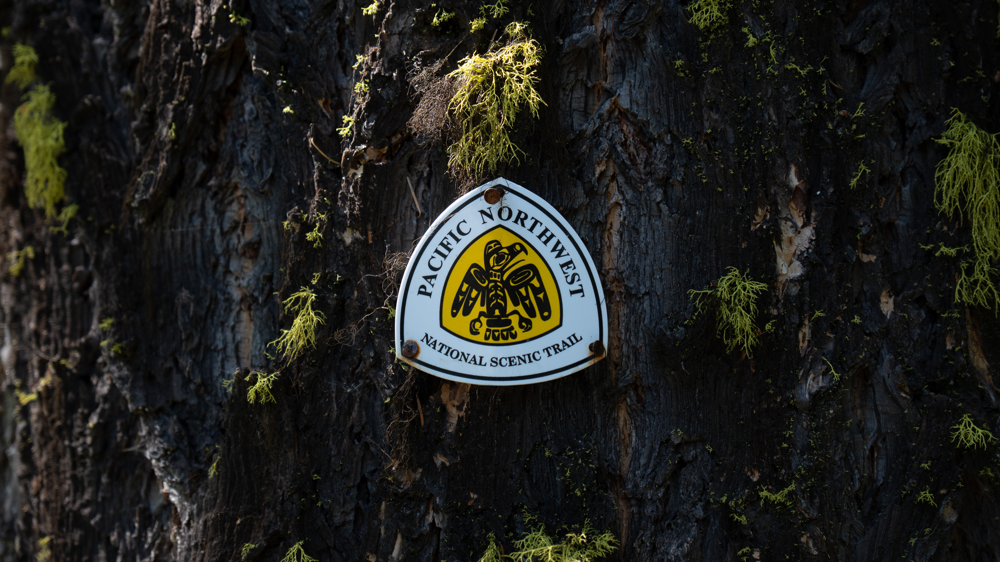
Mount Baker Ski Area, WA to Anacortes, WA
Section Overview
- Miles: 157.5
- Days: 6
- Total Miles: 906.1
- Total Days: 41
Day 36
My hiking day started at the Mount Baker Ski Area – a place I realized I had only been to in the winter. It was a bittersweet day. I was happy to see the area in the summer and for once on the trail, I was being presented with a classic moody PNW day, but it also officially meant my footpath from Glacier National Park had been broken. My plan to get my friends to join me for a high-route involving crossing the heavily crevassed Challenger Glacier fell through after discussions with the NCNP rangers while I was in Oroville. Multiple parties had been turned around due to the state of the glacier and while they were willing to issue us permits, the chances of success seemed exceptionally slim. With that in mind, I had made the hard decision to leave a portion of the trail to be completed another year and skip to the Mount Baker Ski Area.
Trying to leave my disappointment behind as I climbed up to Austin Pass and descended on the Lake Ann Trail. In typical PNT fashion, the nicely kept trail didn’t last long as I split off to continue south toward Baker Lake on the Swift Creek Trail. The trail was clearly old and unfrequented, quickly narrowing with rocks and branches attempting to trip me up. As I descended I grew nearer to a major obstacle on the PNT. The Swift Creek crossing is notoriously dangerous to cross, often leading the PNTA to encourage hikers, especially East bounders to skip the section from Baker Lake up to the Baker Ski Area. With (to my knowledge) only one or two hikers just in front of me, I had no idea what the condition of the creek would be this time of year, but figured by now it should at least be low enough to manage a ford.


Soon after crossing Swift Creek, I came to Rainbow Creek, a silty, powerful wash descending from the retreating Rainbow Glacier on Mount Baker. Thankfully, there was a massive tree crossing the fast moving water, which made what would have been a dangerous crossing a simple balancing act.
As I continued my descent to Baker Lake, the trees around me grew larger and larger, a dramatic shift from the small, hardy trees near the Mount Baker Ski Area that get completely buried in snow every winter. Finally the small trail I was on ended when it hit an old forest service road. I ran into two hikers coming up to the hot springs, which I sadly had to pass up – one of whom I was surprised to learn knew quite a bit about thru hiking and even the Pacific Northwest Trail. The nice and wide trail didn’t last long and soon I was hiking along a dusty gravel road on the north side of Baker Lake.
My poor timing became evident as I passed car after car crammed into any tiny pull off that could fit. Unsurprisingly, reaching Baker Lake on a Saturday afternoon in late July meant the lake was packed with weekend visitors who were swimming, kayaking, and hiking all around the lake.
The rest of my day was spent reaching the northeastern point of the laker, where there was a small bridge leading over one of the rivers that feeds the lake. I followed the Baker Lake trail as the sun began dropping lower in the sky, enjoying the occasional massive view of Mount Baker to the west.


As I hiked along the Baker Lake Trail, I began to realize the late day I had been anticipating was going to be even longer than expected. Every campsite along the lake was filled to the brim with happy campers enjoying the warm sunset after a day on the lake. I continued, striking out every quarter mile or so with a place to sleep, as the woods darkened around me. Finally around 9:30PM I saw a small footpath, that I almost passed, leading down to the water to a small patch of dirt just big enough to pitch my shelter. I gladly dropped my pack and settled in for the night, enjoying the final light illuminating Mount Baker with a sandwich I had packed out from Bellingham.

Day 37
My morning started quietly on the shore of Baker Lake. My goal for the evening was to stay in the Park Butte Lookout underneath Mount Baker, but with how packed Baker Lake had been, I wasn’t hopeful it would be available. I packed up and headed out along the Baker Lake Trail. The campgrounds I passed were still packed, but much more quiet than they had been the evening before. After about 5 miles along the lovely Bake Lake Trail, I popped out at the southern trailhead and my road walking for the day began. I crossed over the Upper Baker Dam, happy to be moving quickly in the early morning even if it was on hard concrete.


I followed the windy Baker Lake Dam Road until I was able to trade the concrete road for a gravel one, climbing up toward the Park Butte Trailhead. What little hope I had for staying in the Park Butte Lookout shrunk as car after car passed me, full of hikers, backpackers, and mountaineers heading up for their various activities on Baker. One car flipped around and asked me if I wanted a ride to the top. Even with my footpath now broken due to the NCNP closure, I declined the ride and continued up the dusty road.
Finally I reached the trailhead and returned to single track, continuing my climb up to Park Butte. At some point on the climb, I had to leave the PNT to find water that wasn’t full of silt, rushing down from the glaciers above me that I couldn’t see. Soon, I reached Park Butte and once again left the official PNT for a small side quest to the lookout. On the way up, I ran into some day hikers who knew about the trail and asked question after question. I was happy to share the info I had and provide some encouragement when they said they were interested in hiking the trail.


When I reached Park Butte Lookout, I found it occupied by a father and his two kids, confirming I would be continuing on to camp elsewhere. I mingled at the top amongst the day hikers enjoying the lookout balcony and views we had, even if Baker was still hiding in a large cloud. The Twin Sisters to the west, were attempting to break through the clouds and held my attention for awhile before I decided to descend back to the PNT and continue on my way. I passed through the Mazama Camp, which was nearly full of tents without a thought of staying to avoid the crowds and because I had only reached 21 miles on the day and made my way along a narrow path to Bell Pass.


The descent down from Bell Pass started quickly. The trail was nice and even seemed like it had been maintained recently, even though it was far from the standard route up to Park Butte. I was excited to reach camp – an abandoned horse camp – earlier than usual after hiking into the night the day before, but after passing through an old growth stand I neared the valley floor and the South Fork Nooksack River and was met with prickly overgrown and blowdowns. I fought through the brush and blowdowns, occasionally having the gingerly pull barbs out of my legs or detach my shirt from grabbing branches. Looking back I can tell how much the unexpected bushwhack frustrated me and tired me out by the lack of photos from the section. The last photo I have on the day was from the Pioneer Camp Trailhead that felt like a perfect representation of some of the stretches of the PNT. I finally found a reasonably flat stretch on an abandoned road leading to the long forgotten camp and fell asleep quickly.

Day 38 (The Bushwhack)
My day started following the South Fork Nooksack south. The trail on my maps was supposed to be down near the river itself, but it had long since been washed away and I was left to climb over blowdowns with a faint footpath occasionally making itself visible. Soon I hit another very funny sign that made it extremely clear I was entering private property. It also marked the first time I was leaving government land since I climbed up out of the Okanogan River Valley on the east side of the Pasayten Wilderness.

Eventually after following the river for awhile into the private property, the primitive trail gave way to a forest service road and I began climbing up towards Mount Josephine. I didn’t know it at the time, but this was the start of nearly a week of mostly road (logging and paved) hiking until I got into the Buckhorn Wilderness on the Olympic Peninsula. Hard to get around when heading out of National Forest land, through DNR and private logging land, down into the Puget Sound area. I climbed upwards, admiring the views of Baker and swaths of lupine flowers provided by clear cutting over the past view years. I had to take an alternate around the summit of Mount Josephine, which would have provide a brief respite from the road walking, due to active logging – signs of which were readily apparent with the large machinery waiting to be used.


Now on the south side of the Mount Josephine ridge, I was treated to my first views of the Skagit River Valley and the farms dotted along the river. Through the slight haze coming off the Sound, I was just able to make out the Olympics in the distance. I followed the road down, enjoying the views while I had them. Somewhere along one of the roads I was topped in my tracks by an animal sauntering down the road in front of me. It was far enough away that I couldn’t quite make out what it was, but I was pretty sure it was a rare sighting of a bobcat. Eventually it noticed me and took off, not wanting to find out what I was up to.


Once I reached the more main road, I had the opportunity to hike down to Lyman – a small town along Route 20 without much more than a couple restaurants and a mercantile – which didn’t appeal to me too much especially after reading comments about multiple dogs going after hikers along the route. In retrospect, the dogs may have gotten a bit more consideration had I known what was in front of me.
A bushwhack was marked on my map just as the climb started back up. I was a bit confused due to the route clearly being on a road, but I assumed it must just be a slightly overgrown stretch of road. Compared to what I had been through in other parts of the trail, I thought it would be a breeze. I couldn’t have been more wrong.
The bushwhack started off as what I would describe a “moderately annoying.” Blackberry bushes had taken over the overgrown road and I was forced to gingerly pick my way through, pulling branches away from me as the shorts cut my legs and pulled at my shirt. The blackberries died away and I thought I was home free until I ducked under a sapling and was met with the worst bushwhack on the entire trail.
In front of me, blackberry bushes hip to chest high had completely consumed the route forward, pushing me backwards as I attempted to fight through them. I retreated and saw what looked like a route someone else had created that appeared to go up above the bushes. I followed it upwards and had more success with forward momentum than my first attempt. But quickly I realized I would need to clamber over a blowdown that was nearly completely hidden by the blackberries. I lightly pushed the vines aside trying to step branch to branch, dropping my feet into the tangled brambles, hoping I didn’t misstep and send myself tumbling into a prickly prison. Eventually I got most of the way through and hit a tiny stream with a rope leading up a steep embankment. I happily grabbed it and scrambled up, leaving whatever I had just been through behind me. The quarter mile or so took me easily 30 minutes to get through and was so bad I didn’t even think about taking photos of it.

The bushwhack had sapped most of the energy I had left in my legs and I only made another 5 miles or so beyond the end of the bushwhack before I decided to call it a night. The 30 mile day I had just put in felt closer to 40 and I didn’t have it in me mentally to push another 3 miles into the night to the next parcel of state land. I dropped my pack and set up my shelter on a small pullout on the road, hoping no one would come along before I got going early the next morning.

Day 39
Thankfully, I wasn’t disturbed throughout the night, though I do think at some point before I went to sleep I heard a car on a different road nearby. I set off quickly and was soon following the ridge line. To my surprise, I passed a tent tucked away – in a much better location than I had spent the night – in a nice spot just off the trail. I quietly moved passed wondering who it was. I was close behind “Ricki Bobbi” (who it turns out was only a day ahead of me, but had bailed on the bushwhack and I never ended up seeing), so it could have been her or a flip-flopper – “Seeking” – I had run into on the east side of the trail whose name I remembered seeing in the register headed west out of Oroville.
It didn’t seem like they were awake, so I moved along as quietly as I could. Before returning to the dark woods and descending down to Route 9, I was treated to some views of the marine layer extending into the Skagit Valley and one last stunning view of Mount Baker and Sherman Peak.


The descent down to the road was easy travel, but long and felt slow. I briefly had some single track before returning the gravel logging road in a large clearcut. Boredom set in, making the road feel worse than it probably was until I popped out onto Route 9. I had about three miles on the road to walk and based on the information I had it wasn’t going to be pleasant. Reaching the road, it was clear I was in for a rough few miles. The shoulder was small and the cars and trucks were flying by well over the 45MPH speed limit. I took off down the road, hoping to knock out the 3 miles as quickly as I could. Soon, what little shoulder I did have disappeared and I was left having to slide off the road to let cars whiz past me or jump to the other side if it looked a bit safer.
Finally, I was able to get off the highway as the PNT turned and climbed up to Anderson Mountain. I stepped behind a gate and sat down in the shade to take a minute after the rough roadwalk. My rest didn’t last long as a big truck came down the road I was going to be headed up. I got a very disapproving look from the driver who didn’t say anything, but made it clear they didn’t like that I was there. As soon as they left, I took off, not wanting to find out if they had called someone or not.
The rest of my day was spent climbing the 3,000 feet up to the Anderson Mountain split. My day was cut short at around 21 miles due to wanting to avoid camping on private land like I had done the previous day, so I turned and climbed the extra mile to the summit of Anderson Mountain. It was a bit underwhelming without much of a view, so I dropped back down to the road I had been following and found a pulloff with a sweeping view of the Olympics and the Skagit Valley.
I enjoyed the slow evening watching the sun set over the Sound. A couple very confused mountain bikers passed by, but continued their conversation without asking why I was camped out there.


Day 40
At this point in the trail, I had some awkward camping logistics to figure out. I was nearly out of food, so I needed to get a resupply at some point during the day. I could go to the gas station in Alger, which I would be walking right past, and push for a 30 mile day to reach a small state park. The idea of another gas station resupply pushed me away from this decision and I found a bus that left from Alger in a couple hours I could take down to Burlington where I could get some real town food and a real resupply.
I hustled through the dark forest in the morning light along what I assumed was a multi-use mountain biking trail and eventually after about 5 miles, I popped out onto the road that led to Alger. I reached the bus stop and, with some time to spare, stopped in at the gas station for some snacks before heading to Burlington.
I spent a few hours in Burlington hanging in a coffee shop and eating food before heading to the grocery store to pick up enough food to get me to Anacortes the next day and grabbing dinner for the night.
Now back in Alger, I set my sights to the road walk ahead of me that took me north toward Lake Samish. I opted to not hike the main road in the hopes of reduced traffic and was met again with a near-shoulderless experience. Thankfully, the traffic was substantially less than Route 9 had been the day before and I made quick work of the pavement pounding.
Once I reached Lake Samish, I turned south and headed up to Oyster Dome. The final 5 miles of a short day felt harder than they should, but soon I reached the rocky outcropping and got to soak in the views. Soon some other folks started arriving for the sunset and I chatted with some, learning that one had actually done PNT trail work. Slowly conversation died as the sun dropped lower. I was left alone to enjoy the food I packed out from Burlington and the last light before tucking in for the night.


Day 41
I dropped off of Oyster Dome early in the morning. Anacortes was about 27 miles away and I wanted to get there in the afternoon to relax a bit. Mostly I just had road walking the entire day. As I was headed south toward Edison, a Jeep slowed down on the other side of the road. I was shocked when I looked up to see it was the same Jeep that had stopped and given me water west of Oroville. I briefly talked to the man driving, who was excited to see I had made it to the west side of the Cascades. After thanking him again for the water he provided me, he took off, presumably headed to work for the day.
I marveled at the chances of running into him again as I continued on the road and soon I was in Edison. I stopped in at a small bakery and gladly spent more than I probably should have on pastries.


The road walking continued out of Edison as I followed the Padilla Bay down toward Highway 20. I passed by Bay View State Park, which thankfully had potable water. From there, I had a small stretch of nice gravel path before hitting Highway 20. I wasn’t sure what to expect on this section – I was hoping there would be some frontage road I could walk along, but unfortunately, I was stuck on the shoulder with cars flying past me. After leaving Highway 20, I stopped in at a small coffee shop, recharging my phone, and trying to recharge myself after the mentally draining road walking before tackling the final 5 miles into Anacortes.

The remaining miles into Anacortes didn’t provide much excitement. I crossed a bay on a very cool pedestrian bridge that took me to a bike path, which led me into town. I was treated to some nice views of Baker and a lone paddle boarder out on the bay before I turned my attention to finding food. I spent awhile in a pizza place before stopping in at a grocery store, grabbing a small resupply, and heading to a hotel to sleep.


