Republic, WA to Oroville, WA
Section Overview
- Miles: 118.3
- Days: 4 (+ Zero in Oroville)
- Total Miles: 592.69
- Total Days: 28
Day 24
Leaving the comfort of Republic was hard. It was my first full zero day on trail and relaxing and eating felt great. As hard as it was to leave town, though, I was anxious to get back to the trail. In the ~1,100 miles I had hiked so far that year (CDT + PNT miles), I had learned I struggle to sit still with an objective in front of me.
My girlfriend graciously drove me back up to Sherman Pass and after saying goodbye, I set off on the Kettle Crest South Trail. The trail climbed quickly back up to the high flanks of the peaks revealing the rolling mountains I was surrounded by. No long after leaving the pass, a house came into view on the arm of a peak I was hiking beneath. It turned out to be a reserve-able cabin nestled in the trees just off the PNT. From a distance it looked luxurious and I was planning on taking a closer look once I got near it, but as I took a picture I clearly saw a group of people who must have rented the cabin for the night. Knowing I would likely be roped into staying for quite some time chatting, I opted to stay on the PNT and pass the cabin by.
The trail south of Sherman Pass had been great, but I knew that wouldn’t last. South of Republic there were a number of bushwhacks and alternates to choose from and the first one was coming up. After looking through the comments on what lay ahead, it seemed like an easy decision to take the first alternate especially after reading a comment. I happily stayed high on the ridge for a bit longer before reaching the bushwhack point on the alternate.


Eventually the trail petered out soon after I passed Edds Mountain and I turned downhill to begin the bushwhack down to a logging road. The initial descent was full of climbing over downed trees and pushing through thick branches trying to stay on a use trail that would disappear and reappear on occasion. After a bit of rough route finding, the underbrush cleared for the most part and I descended steeply on a game trail, sliding occasionally on pine needles, toward the road below. After losing about 600 feet of elevation over 1/2 a mile of bushwhacking, the trail leveled out on an abandoned forest service road.
I thought I had reached the end of the bushwhack and gladly started cruising down the abandoned road. It was only after another 1/2 mile on the abandoned road that I realized I had overshot a turn and needed to head back off the trail into the woods. Not long after blazing my own path through the undergrowth, I popped out on the correct forest service road.
I stopped briefly to fill up water in a culvert before continuing along the road to reconnect to the official PNT. At some point in the bushwhack or while filling up some water, I had lost one of my water bottles and I didn’t realize before it was far to late to return to look for it. My frustration was growing, in some part due to the continued road walking, losing my water bottle, and bushwhacking, but also due to the pain in my foot continuing to grow. Since injuring it on the Lions Head Ridge Alternate a dull pain would start growing from the start of the day, especially when hiking on ground that forced my right foot to tilt outwards.
I tried to put the growing aggravation emanating from my foot and looked forward at what lay in front of me. While looking at my phone, I nearly walked right past a giant rock with a massive crack that locals had added to to make look like a piranha. It was a bit of a start after emerging from a bushwhack, but a friendly reminder I was still relatively close to Republic.

After taking a photo of the strange rock, I continued down the road, which eventually turned into a nice single track trail that turned due west. Being back on a nice trail felt rewarding and I happily cruised along the ups and downs in front of me. Eventually the trail I was on came to an end and I was met with two women climbing out of a loaded down car. As it turned out, they were doing trail work on the PNT and offered me a cold drink, which I gladly accepted. After thanking them for the drink and the work they were doing, I headed off sipping on the ice cold sparkling water. Sometimes on days I was struggling something always seemed to pop up to brighten my mood.

Not long after leaving the two women, the trail rose up higher on the ridge line and I was given my first real view of the Western Okanogan Highlands. The mountains felt different all of a sudden. Even from earlier in the day on the Kettle Crest South Trail. Instead of easing their way to the ground, some of the mountains ahead looked like they dove into canyons carved by water flowing through them.


The rest of the day I spent enjoying the Thirteen Mile Trail as it followed the rolling alpine. Eventually, I began losing elevation as I approached the southern access point to Republic – the spot Tim and Carson planned on hitching into town. I popped out of the trail at a campground and began looking for a place to camp for the night. After avoiding a few camp sites with bags of trash piled on them, I found a good spot with easy water access and set up my shelter.
Day 25
The next morning, I got started the day on a short windy stretch of road through the canyon. So far I had managed to hit some of the bad road walks early and avoided most of the traffic. The few cars I did see were headed the opposite direction and presumably quite confused as to what I was doing. Before ducking off the road to start climbing back up out of the canyon, I unceremoniously slid my way down the gravel bank to the Sanpoil River to fill up on water.

As I climbed up out of the canyon, the trail became crowded by a herd of cows. Dodging patties and attempting to get cows to get off the trail so I could pass became a bit of a game, but I didn’t mind the frequent pauses to take in the views behind me.

The single track trail faded back to a dusty road that had become the norm on this stretch of trail. I headed west through the woods toward Swan Lake. The road was particularly dry and the heat set in quickly as the sun rose into the sky early. The lake promised easily accessible, cold, and potable water, which I was looking forward to. but when I arrived, all of the spigots had signs warning me away due to an on going treatment. A bit frustrated I started looking for a way down to the lake to filter from. A woman picking huckleberries noticed me and immediately sent me to her RV where her husband happily filled up my bottles before sending me on my way. It seemed that whenever I started to get frustrated by something on the PNT, someone would come along and lend a hand even if they had no idea what I was doing.

The opposite side of Swam Lake promised another bushwhack according to my maps, but in reality it turned out to be a simply pushing through some shin high brush up to an old overgrown forest service road covered in lupine with a few blow downs to hop over.

Soon the overgrown road dropped me onto a wide and well maintained forest service road and I was met with a National Forest sign that marked the border between the Colville National Forest and the Okanogan National Forest. I was still quite far from familiar terrain, but the Okanogan National Forest extends all the way into the North Cascades and it was nice seeing a sign I could recognize for the first time.
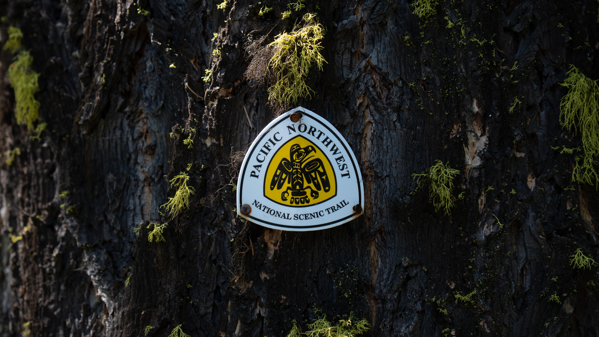
The rest of the day passed uneventfully as I slowly made my way north back toward Highway 20 on forest service roads in varying states. On occasion the rare PNT logo made an appearance, assuring me I was headed in the right direction. Eventually I reached Highway 20 as the sun was getting low in the sky. I crossed to the northern side, filled up water from Sweat Creek and after clearing off some cow patties from the soft dirt, set up camp. The occasional cow walking by and cars passing on the nearby road didn’t keep me awake for long.


Day 26
The next morning I got going early. I had roughly 30 miles and 8k feet of vert to reach my destination for the night – Mount Bonaparte Lookout, but the real time crunch was reaching the Bonaparte Lake Resort before the store closed. Unfortunately for me, the restaurant was only open Thursday through Sunday, but there was a small store that closed at 2PM that promised some cold drinks if I could reach it in time. I set off with nearly 20 miles in front of me trying to do the math of what pace I would have to average just to get a soda.
Much of the early morning was spent dodging cows and cow patties until I began descending toward Cougar Creek Road. My excitement for a cold soda couldn’t completely erase my nervousness for the first couple of miles on this road walk. Based on other thru hikers experience’s, I was headed towards loose dogs, aggressive no trespassing signs adorned with images of guns and skulls, and slurs spray painted on abandoned cars.
Eventually the dirt under my feet turned into a dry and dusty gravel road, which marked the start of my road walking for the day. Soon after reaching Cougar Creek Road, I was met with some of the unfriendly signage that other thru hikers had described as they walked through. As I came around a corner, I saw a shirtless figure up ahead of me pacing around the middle of the road. Without any real choice, I slowly approached him and as I drew near, he struck up a conversation. He seemed to know about the trail and I answered a few of his questions before he offered to take me down the creek to get water. Perhaps I was extra sensitive due to expectations of having issues on the road or perhaps his movements during our conversation (continually moving and shifting behind me) that made me eager to leave, but he gave me no issues as I declined his invitation and continued down the road.
Not soon after I did have to get water since I had lost one of my water bottles earlier in the stretch and I ducked down off the road and into a culvert to fill up. My only issues on the rest of the gravel road proved to only be dust that the occasional truck kicked up passing me. Eventually I was dropped onto a paved road, which had been baking in the sun and marked a noticeable increase in heat. I saw a couple dogs at a house on the corner and quickly jumped to the opposite side of the road, not wanting to take any chances that they could get past the fence holding them back.
The road walking continued for quite some time, switching from paved to gravel on occasion. The Okanogan Highlands provided pleasant and expansive views, but they were a bit hard to enjoy in the overbearing heat.
I was surprised by and eastbound thru hiker – I believe his name was Walter – a few miles from Bonaparte Lake Resort. We chatted for a bit about what we had in store heading in our respective directions, before parting ways. Leaving Walter, I descended the final miles to the resort as quickly as I could. The heat had taken a lot of my energy and I was worried I was hurrying for nothing. Thankfully I reached the store just before it closed – though from a distance I could have sworn the closed sign was up – and was able to buy the soda that had consumed my thoughts for the whole day.


Without food or AC to hold my interest at the resort I didn’t stay too long. I left the small resort behind and excitedly began the climb up to Mount Bonaparte. I quickly encountered a large wash that had completely destroyed about 15 feet of the trail. I gingerly climbed down the steep bank to the bottom, taking a moment to stare up the trench, marveling at how much water must have poured through the area to wipe everything out in its way down to the lake. I climbed out the other side, grabbing onto exposed roots and grass to prevent myself from slipping back down, and continued up out of the valley.
The climb out of the valley was hard, but the temperature was slowly dropping and thankfully there were a couple water sources along the way. The trail slowly began showing more and more signs of the fire that had recently swept through in 2021. Thankfully there were not real blow downs to deal with, but the damage was evident.


The rest of the climb up to Mount Bonaparte was steep and my pack was weighed down with full water bottles. Just before I reached the top, I was surprised by another eastbound thru hiker. His name was Seventy and we briefly chatted – he was headed all the way down to the lake for the night. He let me know that Carson and Tim were up at the top with Winter, the woman staffing the lookout. We parted ways and I happily headed to the summit, excited about camping with people for the first time since Stahl Peak Lookout.

Tim and Carson were at the top eating some food at a picnic table. They had to hike into Republic from the south because they couldn’t get a hitch and opted to skip the bushwhack and road walk heavy stretch to the southwest of Republic. Winter came down from the lookout with her dog and some beer and we all hung out in the warm evening weather talking about the trail and learning about her time as a wildland firefighter. After setting up our shelters, we took up Winter on her offer to hang out in the lookout and happily watched the sun go down.


Day 27
I woke up with only thoughts of reaching Oroville, which marked the halfway point of the trail, but more importantly, meant town food! I took off early before anyone else was up and descended off of Mount Bonaparte. Partway down the long descent to Havillah, a small community that offered some trail magic for thru hikers, I opted to take an off-trail route that cut off a bit of road walking. The alternate started off amazingly well on a nice cow path on which I encountered a herd of elk. Soon after, though, I found myself bushwhacking through waist high brush that was scratching up my legs and continually grabbing my shorts and shirt. I’m not sure if the alternate saved time, but eventually I found a small trail that I was likely supposed to be following the whole time, which brought me down to the road.
Havlillah soon came into view and I was able to spot the church from afar. The community was definitely incredibly small, but for myself and other thru hikers it served as a huge landmark, breaking up a 20 mile waterless stretch and offering some snacks and AC to relax in. I pushed quickly to reach the church and after signing the PNT log book, I ducked into the basement to enjoy the cool air.

Not soon after I reached the church, a woman came down into the basement. She energetically said hello and pointed out some additional food in the fridge that was set aside for PNT hikers. She told me there was an exercise class that was starting soon, but I was welcome to spend as much time as I wanted.
I awkwardly sat in the kitchen for a while as people filtered in and started their class in the adjacent space. Eventually the pull to reach Oroville outweighed my desire to stay in the AC and I packed up and headed out. Everyone in the group waved and wished me luck as I left the church without missing a beat.
Oroville slowly grew nearer as I trudged along the hot and boring roads towards my next water source. It was supposed to be a bit off trail and particularly difficult to find, but thankfully I was able to track down the tank and pipe pulling cold and clear water from underground. I drank as much as I could, clearly a bit dehydrated from only having a two liter capacity for a 15 mile road walk in high 90° weather.
At this point I had a bit of a time crunch getting into Oroville. I had called the Camaray Motel – known for being hiker friendly – to book a room and the owner had asked if I could reach him by 7:30PM. While it was unlikely I would reach the motel any later than that, I pushed my pace ensuring I would get there as soon as possible. As I came around a bend on the old forest road-turned trail I was hiking on, I spotted a mamma bear and two cubs slowly walking together across the trail. I thought the mamma bear spotted me and I called out, hoping they would run off. Instantly the two cubs shot up the tree they were next to, reaching the very top in in seconds. Unfortunately for me, the tree was right next to the trail and I was stuck 40 yards up the trail waiting for the group to decide it was safe to move on.
I made a couple half-hearted attempts to bushwhack around, but I could see the mamma bear out in front of me mirroring my movements. I retreated to my original position – far enough the bears should feel safe, but near enough that I could see them – and continued to make some occasional noise.
Eventually the mamma bear decided I wasn’t a threat, retrieved her cubs, and carried on. I was happy to be back on my way after the delay and continued along my path, thankfully away from the direction the bears went. Not long after I left, I caught some movement out of the corner of my eye and realized I had walked up on another bear. At first I thought the mamma bear and cubs must have wrapped back in my direction in front of me, but thankfully this bear was alone and took off when I announced my presence.
Happy to have such a brief interaction, I continued down the trail. Soon after, I was treated to my first views of the Okanogan River Valley. The valley was stunningly beautiful with two rivers winding their way through the farms to the south and the town of Oroville to the north. The high desert mountains across the valley didn’t look much different from the ones I was currently in, but they marked the start of the Cascade Range. The mountains across the valley didn’t resemble the Cascades I was familiar with, but it was a huge milestone for me to reach the range. I excitedly began moving downhill toward Whistler Canyon, which would bring me down to the highway I would soon be walking into Oroville.
The views opened up again before I descended into the canyon and I couldn’t resists stopping again to take in the views. The pull of a bed, ac, and town food eventually pulled me back to the trail. Soon after I heard some branches snapping off to my right. I stopped trying to peer through the trees and brush thinking I had someone run into another bear. I was shocked to see a moose staring back at me from across a small ravine.
The moose crashed away through the woods and I continued on my way down to the road. At the trailhead I signed the logbook and started along the highway toward Oroville and the bed waiting for me at the Camaray.


Day 28 (Zero Day)
The Camaray Motel lived up to its reputation as incredibly hiker friendly. I was quickly checked in by the owner while marveling at the hiker box setup in the lobby, which included everything from electrolytes to a brand new backpack.
I ran into Carson and Tim in the morning – they had stayed up on the ridge and hiked into town early – while getting breakfast and we talked about our plans going forward. After a lengthy breakfast my town chores started. I spent a length amount of time in the grocery store picking out everything I wanted for the huge stretch in front of me. The Pasayten Wilderness stretched from Oroville all the way to Ross Lake in the North Cascades National Park. The from Oroville is 160 miles and once in the wilderness area, which is one of the most remote areas in the Lower 48, there are no road crossings until Ross Lake on the Western side.
In researching the PNT, the Pasayten emerged over and over again, often described as brutal, epic in all ways, and relentless. But it was often described as hiker’s favorite part of the trail. I was certainly nervous to head in, but also excited that I would be heading back into the mountains.


