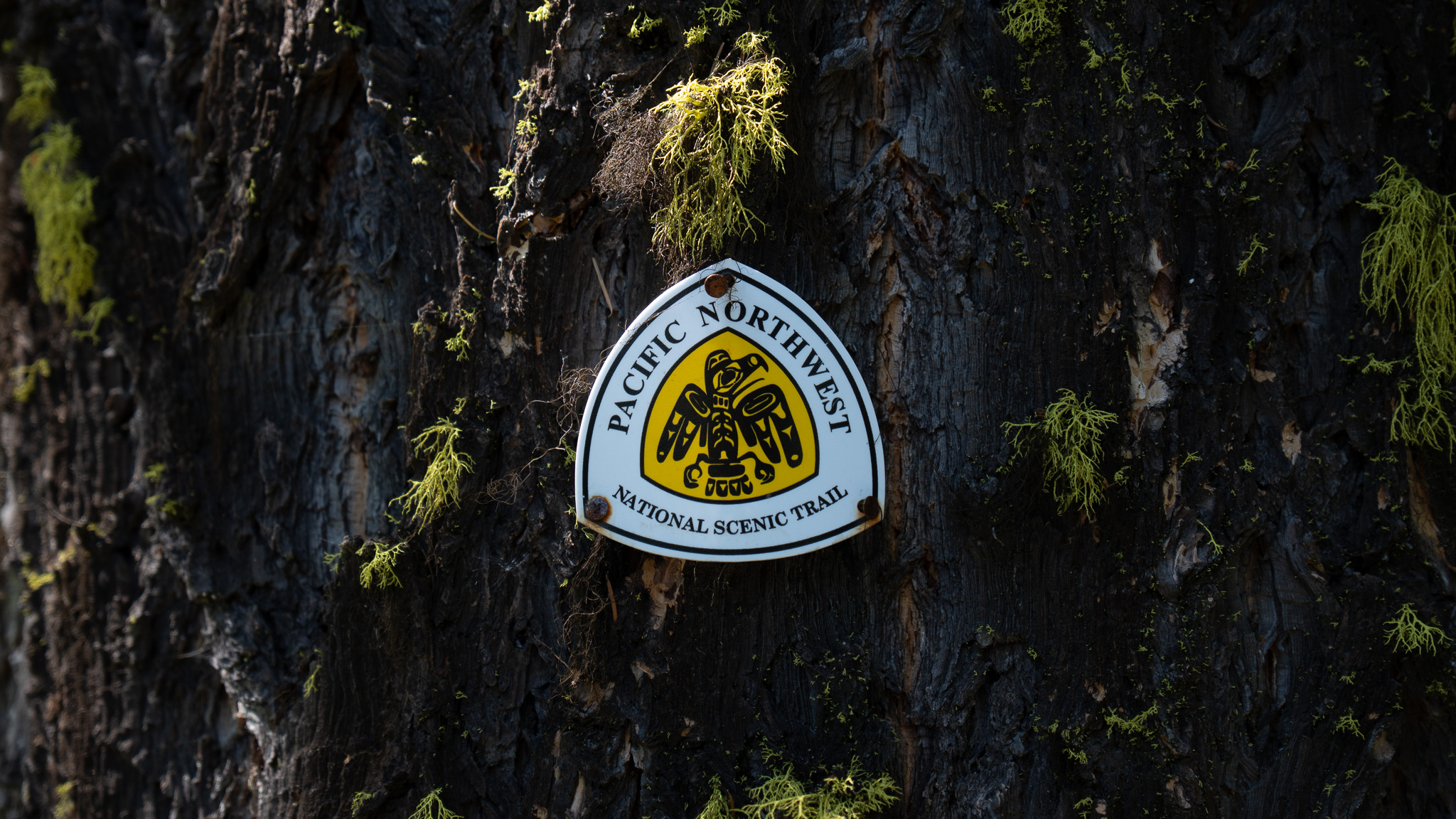
Yaak, MT to Bonners Ferry, ID
Section Overview
- Miles: 63.7
- Days: 4
- Total Miles: 268.3
- Total Days: 14
Day 11
Yaak was quite on the morning of July 4th. The small number of people who were in the area were still asleep in the early morning from the festivities I hadn’t participated in the evening before. The morning was slow for me. I had a specific destination in mind for the day that I didn’t want to go passed. When the mercantile opened I stopped in for some coffee and breakfast. I was hoping to catch a quick ride from there back to the trail, but I didn’t have any luck with people heading the way I was.

Reluctantly I set off North along the Yaak River Road, hoping I could get picked up like the day before before having to cover the 7 miles back to the trail. The stretch in front of me was fairly short (only about 63 miles), but it included one of the more divisive alternates on the PNT. The Northwest Peak Alternate is a 13 miles stretch that deviates from the main PNT to a fire lookout before it turns into an off-trail peak bagging ridge scramble to rejoin the trail. I was excited to tackle the class 2 stretch as a change of pace to the trails and roads I had been following thus far, but I also found myself overthinking whether I should do it alone or not. Hours of walking along roads had allowed my mind to wander and generate the worst-case scenarios.
An hour or so of pavement pounding and sticking my thumb out at the occasional car was finally rewarded when a big pickup truck slowed to a halt as it passed me. I hopped in and chatted with the driver who had passed me the other direction as he was heading into Yaak and decided to stop to see what I was doing. We shared some information in the few minutes I was in his truck – him about the house he was building and me about the trail. Soon we were back to the trail, which was just another road, and I thanked him and we parted ways.
I was thankful to be on the official trail, but I still had about 13 miles of paved and gravel road before I would hit a small stretch of single track trail. I plodded along, slowly climbing higher into the mountains. Even though I was on wide open roads and unlikely to be surprised, I was still very deep in grizzly country and didn’t want to put headphones in, so all I had to entertain myself were the views of endless trees and flip flopping on whether I wanted to push to the fire lookout on top of Nothwest Peak or not.


The day dragged on. I was only rewarded with a small 3 mile stretch of actual trail descending off of Garver Mountain, that I happily enjoyed before joining back up to a gravel road. Shortly after, I passed a couple who were car camping in a small pullout along the road. They waved me down to see what I was doing and soon my pack was on the ground, I had a beer in my hand, and we were swapping stories of backcountry adventures. They were avid backcountry splitboarders from Whitefish and had spent a ton of time in the mountain ranges I had just passed through. They had spent the previous night in the Northwest Peak fire lookout and warned me of a massive rat that had taken up residency in the lookout. We sat and chatted around a fire until the dense trees were blocking out the waning light. I thanked them for their hospitality and started off down the road again, making it a couple more miles to another pullout before setting up camp for the night.

Day 12 – Northwest Peak Alternate
I got an early start the next day, anxious to get passed the 8 miles and 3,000 feet of vertical in front of me and the start of the scramble. Eventually the turnoff for the peak arrived and I hopped off the road and onto the Northwest Peak trail. I quickly climbed up out the the trees into the alpine and through a rocky field up to the fire lookout perched on top of the peak.
The lookout was clearly well visited. There was a couple bed platforms, a table, and even a lock box that held a log book and an American flag that could be flown from the flagpole just outside the shelter. I looked South at the beautiful ridge line that lay in front of me and suddenly the nerves of tackling it dissipated. I spent a fair amount of time in the shelter, enjoying some coffee and the solitude of the lonely mountain house. I wasn’t visited by the infamous rat I had heard about the night before and eventually packed up my backpack, locked the fire lookout, and headed down the opposite side of Northwest Peak.


The class 2 scramble began the minute I left the door of the fire lookout. I was immediately rock hopping down off the summit trying not to lose my balance while staring forward at what lay ahead. I could nearly see the entire 4 mile scramble in front of me. Beyond the tedious rock hopping I was currently doing, it looked like much of the beginning of the scramble would be an easy ridge walk to the base Davis Mountain straight in front of me.
I couldn’t have better weather moving across the ridge line. Despite not having many clouds in the sky, it finally wasn’t feeling too hot – likely in part to being well over 7,000 feet in the mountains. Even after the slog through the rocky summit, the relaxing walk to the base of Davis Mountain was not fast moving. I was often picking my way through small groups of trees trying to stay on an old game trail that would fade in and out. Regardless of the slower-than-usual pace, I was enjoying being far above the treeline and off the forest service roads I was growing accustom to.


The climb up Davis Mountain was hard. I was able to follow a faint game trail or old use-trail in the trees up part of the climb, but it eventually it gave way to the talus and I was forced to half walk, half crawl up to the top of the peak. At the top of Davis Mountain, I found a small fire ring that locals in the area most occasionally use. At this point I was almost halfway through the scramble and it was fun looking back towards Northwest Peak and the tiny fire lookout perched on top. The next stretch to Ewing Benchmark in front of me was clearly going to be more challenging than what I had just covered. I could see I needed to drop right back off of Davis Mountain before climbing up to a knife edge and following that to Ewing.
There were some dark clouds starting to form above me, so I didn’t linger too long on Davis Mountain. Dropping off of Davis was fairly straightforward. With only occasionally patchy trees, I could easily see where I needed to go. I quickly reached the notch I could see from the top of Davis and began the climb back up to the ridge line. The rocks through this stretch were similar to what I had found on Northwest Peak – large black boulders that shifted occasionally by surprise. I opted to stay just below the knife edge of the ridge, which in retrospect likely made my progress slower. Nevertheless, the traverse from Davis to Ewing went smoothly. The final climb to Ewing was hard, but manageable after the few miles of rock hopping I had done. From the top of Ewing I could see the whole traverse I had done from Northwest Peak. I could see exactly why the alternate had made it’s way into the official PNT trail maps. The ridge line stood out dramatically from the surrounding mountains, dominated by Northwest Peak.
With the darkening sky above me and still about a mile left of the alternate, I began the descent down the ridge to rejoin the official PNT. As I started the descent I believed it would be a breeze back to the PNT after scrambling and rock hopping for the past few hours. Unfortunately, the descent from Ewing proved to be the mental crux of the entire alternate. The ridge down to the PNT was rough and I got cliffed out more than once. I had to toss my trekking pole down below me a couple times in order to have access to both hands to down climb short stretches of the ridge. After what felt like an hour of battling ledges hidden in the trees, I finally gave up staying on the ridge until it met the PNT and turned down hill and bushwhacked backed to the main trail. Finally, 3.5 hours after leaving the lookout, the thin strip of dirt appeared from the underbrush and gladly hopped onto it, ready for the rest of the day to be smooth sailing.
Since reaching the top of Northwest Peak, I had been straddling the border between Kootenai National Forest and Kaniksu National Forest. After rejoining the PNT, I climbed up to Canuck Peak before descending west and officially leaving the Kootenai National Forest behind.
A few miles after leaving Canuck Peak, I was met with an explosion of feathers and squawking. A grouse had been hanging out in the middle of the trail and unfortunately for me, I didn’t notice until it loudly announced its presence. The scare was enough that I completely missed stepping into Idaho. There was no definitive marker to be seen, but I was hoping to celebrate finishing the first state of the trail to some degree.
I descended out of the mountains towards Moyie River and my destination for the night. Along the river was a small resort called Feist Creek Falls Resort, which offered potential for some cooked food and a resupply package that included new shoes and new shorts, both of which were sporting very large holes. The trail down turned into a rutted out multi-use trail that dirt bikes had ripped up. Thankfully I had the trail to myself and I spent the 4,000 foot descent avoiding loose rocks and eating huckleberries until I reached a small picnic area that served as camp for the night.


Day 13
My first morning in Idaho was slow. The Feist Creek Falls Resort didn’t open until noon and I camped about half a mile away. I got to the resort hoping that someone who worked there would be around and would be willing to check if my package had arrived. Unfortunately, no one arrived until just before the official opening time so I spent a few hours lounging on the deck changing my devices and working on my plans going forward. Once the resort opened I ordered some food, but my package hadn’t arrived yet. I wasn’t able to leaving the resort with my new gear until around 3PM, which likely put hitchhiking into Bonners Ferry out of reach for the day. My new plan was to camp a couple miles from the road into Bonners Ferry and catch a ride into town early the next day.


The only obstacles in front of me for the day were a 3,000 foot climb and descent followed by the first official bushwhack of the trail. The hot July air and few water sources continued to be a challenge as I climbed up out of the valley. Frequently the trails on the PNT look rarely used and this one was no exception. The only evidence that the trail was used was the large Mountain Lion prints I found myself following.

Soon I was back up near 7,000 feet where the air was cooler and I was cruise some easy miles before starting the long descent towards the Kootenai River Valley. Eventually the single track trail gave way to a dusty gravel road that I needed to follow for a couple miles. The Moyie River Valley, just on the other side of the mountain I had come up and over, had been quiet and calm. This side clearly saw more people. I was passed by three or four trucks while on the gravel road. My throat quickly became coated in dust kicked up by the trucks and I was almost happy when it was time to leave the road and head into the bushwhack.
From previous comments it seemed like some people had a horrible time in the bushwhack, but I was happy to have a reprieve from the roads and stepped off the gravel into the brush. I stayed as close to the line on my map as I could and had a surprisingly easy time covering the half mile between the road and a smooth mountain bike trail. I often came across what must have been a very old trail that was mostly reclaimed by the woods, which made navigation and travel fairly straightforward.
I popped out onto a wide and well groomed trail covered in cobwebs on the east side of Brush Lake after about 30 minutes. I sped around the lake to the west side where the campground was. It seemed to be a popular site being so close to Bonners Ferry, which mostly meant food scraps were strewn around without much care. I settled in for the night looking forward to being in town the next day.
Day 14
The next day I woke up early and hiked the remaining two miles down to the road, where someone eventually pulled over and offered me a ride into Bonners Ferry. The man who picked me up seemed to know a decent amount about the trail and we chatted about it and his daily commute from Canada into Bonners Ferry for work. After getting a resupply for the next stretch, I relaxed in town, enjoying good food and any store/restaurant I could find with AC.


