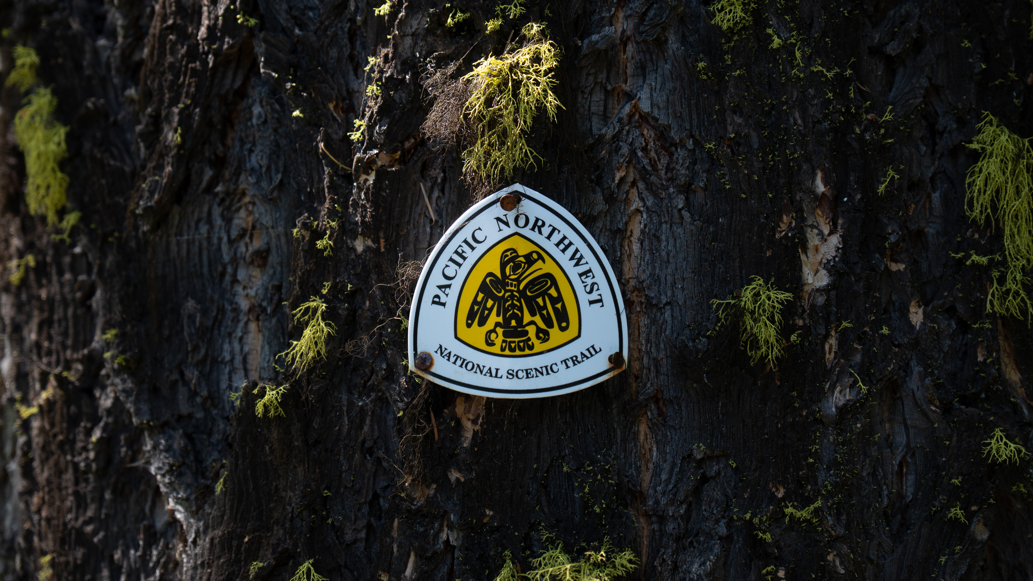
Polebridge, MT to Eureka, MT
Section Overview
- Miles: 77.9
- Days: 3
- Total Miles Hiked: 152.2
- Total Days Hiked: 7
Day 5
The North Fork Hostel was quiet when I woke up. Aside from myself there was only the owner and Connor in the large house. There were a couple bikepackers who had opted to stay in one of the strange, randomly-decorated trailers in the back of the house, but no one was up and moving except for me. I quickly packed up my gear and moved through the maze of bunk beds as silently as I could and left the hostel. I hung around the Mercantile for a few minutes until it opened, grabbing a couple pastries for the next stretch in front of me.
A couple small rain showers had passed through the previous evening, which thankfully meant the dirt road leading out of Polebridge wasn’t too dusty. The fog that had settled in the valley was lifting, revealing a deer moving slowly through the field near a broken down cabin underneath the faint outline of Glacier’s peaks. My thoughts, though, were less focused on the road underneath my feet or the morning view in the valley and were almost entirely consumed by the warning the Polebridge local had given me about the Hay Creek Trail. Despite the warning, I didn’t have a choice to head in alone. Connor was dealing with knee pain and wanted to take a day off and was considering hitchhiking to a bigger town. With no other choice than pushing ahead alone, I turned off the main road onto Hay Creek Road and started making my way up into the Whitefish Range.

The Hay Creek Road had seen better days. There were multiple large washouts that had made the road completely inaccessible to cars. The washouts often showed signs of the bears I had been warned about. Amidst a set of shoe prints, a bike track, and some elk prints, grizzly tracks were pressed into the mud. The washouts and animal prints continued until I reached the end of the road and the start of the Hay Creek Trail. It turned out the “trail” was simply a continuation of the road, but long abandoned by cars and clearly overgrown. I was soon pushing through and ducking under low hanging branches of bushes that had happily taken over the road. Oftentimes I couldn’t see more than a few feet in front of me. Under my feet I found myself frequently stepping over piles of grizzly bear droppings in various states of decay, some of which were clearly from early in the morning. Yelling “Hey Bear!” every few steps added some amount of comfort as I continued up the trail.
The brush started to fade away as I climbed higher into the mountains revealing a darkening sky above me. The Hay Creek Trail dropped me onto a forest service road just as it started raining. I tried hiding under some trees, but after a few minutes I was completely soaked. I decided to push forward on the road in the rain since I couldn’t get any wetter and quickly reached the Whitefish Divide Trail. The trail climbed up out of the forest and thankfully as I gained elevation the storm subsided. I was treated to an epic ridgeline trail for the rest of the day. The was often quite steep, but the mountains around me distracted me from the big climbs. Eventually as evening started to fall, I reached my planned campsite for the night, an old lookout tower site on an unnamed peak. Just as I arrived and set up my shelter, another small rainstorm passed through. I waited it out and then stepped out of my shelter to eat dinner and watch the sunset on my first night alone on the trail.


Day 6
The next morning I woke up early. Since I had decided to wait for the mercantile to open in Polebridge, this was the first day I could dedicate entirely to hiking and I had picked out Stahl Peak Lookout for my next night. I wanted to get there early to relax at the lookout and watch the sunset so I set off. After a quick climb, I reached Mount Locke and took in the early morning alpine views. After a few minutes of gazing across the endless peaks, I realized I could see my goal for the evening. A tiny white spec sat on top of a prominent mountain with its sheer eastern face glowing in the morning sun. My route to the peak would be far longer and more circuitous than the direct sight line I had on the peak. I descended Mount Locke and left the alpine views for the damp and dark forest below.


After the long descent, I came to a running creek and filled up on some water before crossing through it. As I came up the bank on the other side and around a bend I ran right into Vincent and Victor – the two friends who started the PNT the same day as I had. The two friends jumped in fright. Apparently the creek had covered the sound of my approach. I spoke with them briefly as they were just breaking camp and learned they were headed to Stahl Peak for the night as well. I left Vicent and Victor and slowly continued down the trail. As the brush got thicker they caught up to me and we hiked down into the valley together, chatting about where we were from and how we had all ended up on the PNT. Eventually the trail opened up onto a forest service road and we began the climb back up to the alpine. Already this seemed to be a pattern on the PNT – climbing up to the alpine, descending back to the valley floor, and repeating.
The day was growing very hot, especially down low on the road. Thankfully water was readily flowing. Vincent and Victor decided to pause at a bridge to cool off in the water and I continued the dusty climb on the forest service road, knowing I would see them later that evening. Climbing back up to the ridge was hard. My legs were tired from the big day I had out of Polebridge – I had pushed as far as I could so I could get to Stahl Peak on my second night out. I got a bit of a boost when I came across a few sticks laid out to mark the first 100 miles on the trail. Once I gained the ridge I had an obscured view of Stahl Peak and the ridge to the Northwest of it. The East face was a sheer cliff leading up to the lookout, which I could now clearly see, perched on top of the mountain.


The rest of the day passed uneventfully. I reached the turnoff for Stahl Peak – a short side trip off the PNT and finished my day with an unexpectedly steep climb to the lookout. To my surprise, there was another PNT hiker whose trail name was Cheemac. We chatted about how the trail had been so far, what other trails Cheemac had hiked, and what we were interested in in the future. Vincent and Victor showed up a couple hours later and the four of us spent the evening watching the sun slowly go down from the lookout.


Day 7
The following morning I left the lookout alone. I packed up as quietly as I could and left Cheemac, Vincent, and Victor sleeping in the lookout. I wasn’t sure what my plan was for the day, but I had hopes of reaching Eureka for some town food and to do some laundry. I was quickly down off of Stahl Peak to Therriault Pass and hiking the pleasant single track trail. My thoughts were on reaching the 49th Parallel, which marks the country border between Canada and the US, when I came around a switchback and caught some movement to the right. I froze. About 15 feet to my right was a grizzly bear. It was quieting huffing and digging for food. While it wasn’t a particularly large bear, its hump on its shoulders was clear from my vantage point. The bear was still unaware of me. Its digging had masked my footsteps approaching and it had yet to smell or see me. I wasn’t sure where to go. If I continued downhill I would end up right beneath it, which I assumed is where it would prefer to run when it did notice me, and if I went back up, I would only be getting closer to it. I opted to just pull out my bear spray and stay where I was. I saw its head swing up and start to smell the air. Clearly it had picked up my scent. I tapped my trekking pole on a rock in front of me and the bear bolted downhill. I breathed a sigh of relief and kept hiking. Even though it was evident the bear wasn’t coming back – I had heard it crashing through the underbrush with no signs of stopping to investigate me – I kept my bear spray in my hand and shouted every few steps for another quarter mile.
I continued forward high on the mountainsides, soaking in the views, never having to drop more than a few hundred feet. Eventually the trail dropped steeply off the ridges toward the Canadian border. Up to this point, the trails through the Whitefish Range had been excellent and easy to navigate. The trail dropping off of the ridge line faded in and out amongst a stream and some blowdowns before connecting to an old mining road. The wide road – now clearly just a trail – was easy down to the border. I stepped off the trail a few feet to find an old sign marking the 49th Parallel and had an incredible view down the clear cut into Tobacco Plains – the valley Eureka sits in.


As I descended from the border, I could feel the temperature rising. The mountains had been nice and breezy, but the valley was clearly not going to be as pleasant. The trail eventually widened into a gravel road as I left the national forest. The occasional car flew by kicking dust up into the dry, hot air. I passed a house right off the road and heard some dogs barking. I was thankful to see the owners in the property and their gate closed until a small dog I hadn’t seen jumped through a gap in the gate and sprinted at me, barking and growling at my heels. I kept it at bay with my trekking pole until it grew bored of me and returned to its owner.
Thankfully the rest of my time hiking into Eureka was uneventful. I opted to cut through a golf course to cut down on the required road walk, but was eventually forced onto the road, with cars whizzing by at 50 or 60 MPH. I was happy when I reached a motel and was able to get off the hot road and into a cool room.


