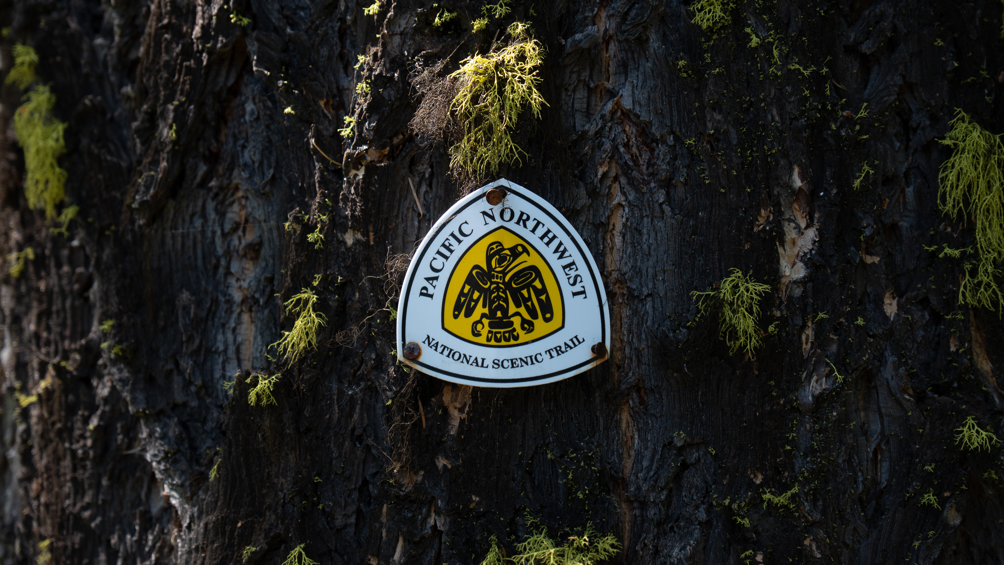
Anacortes, WA to Port Townsend, WA
Section Overview
- Miles: 52.1
- Days: 3
- Total Miles: 958.2
- Total Days: 44
Day 42
I took my time leaving my hotel room in Anacortes. Denise was joining me for the first stretch through the Olympics and we were meeting in Port Townsend in a few days and there weren’t many ways to break up hiking down Fildalgo and Whidbey Islands without having a couple short days. With my goal for the night only about 13 miles away at Deception Pass, I slowly made my way through downtown Anacortes, grabbing a small resupply at a Safeway on my way out of town toward Cranberry Lake Park.
Not much happened on the hike down Fildalgo Island, but I was pleased to find out that most of the day was on surprisingly nice trails. I ran into some climbers taking a course in Mount Erie Park and got some slightly confused looks as I passed by with a full backpack.
Soon, I reached the famous bridges that span the gaps between Fidalgo Island to Whidbey Island, sitting high above the water. Car after car slowly moved past as I made my way to Whidbey and my destination for the night.

After reaching Whidbey, I dropped underneath the bridge, off of the official PNT and headed down towards the campground. It was quickly apparent that the campground was entirely full – I was once again hitting a popular campground on a Saturday. I reached the main campground, but immediately realized I should have continued on Route 20 to reach the campground entrance where I could actually pay for a site.
After a break near the beach, I hiked back up to the campground entrance, paid for a hiker/biker site, and retraced my steps back down toward the water.

I reached the hiker/biker sites, to find I was the only one there. I was bit surprised considering how packed the other sites were, but I picked one out and set up my shelter for the night. Not long after, a couple did come through on bikes to stay the night. We chatted for awhile about our separate journeys, before they left me with a book on the flora and fauna of the Pacific Northwest to get some food. I read the book for a bit until I got too tired and turned in for the night.
Day 43
The short day out of Anacortes was needed to set myself up for a long, but manageable day. My first option for camping was about 25 miles away and would serve as a backup if, when I hit the first beach section of the trail, the tide would cause the trail to be impassable. The main goal for the night was to hike the entirety of Whidbey and reach the campground at the Coupeville ferry terminal 30 some miles from Deception Pass.
I packed up quickly and as quietly as I could to not disturb the bikepackers and made my way back up toward the entrance of Deception Pass State Park and then almost immediately back down to the water on the other side of the island. The low hanging clouds made the morning cool and slightly damp, but it was enjoyable considering cloudy days were few and far between on the trail.


The boring miles began blending together after a short stretch of nice single track trail as I made my way down the east side of the island before turning and heading all the way back across to the island to the west side. I was a bit frustrated with the seemingly roundabout way the trail was taking to reach the south end of the island, but soon realized it was all to avoid hiking on Route 20 and to get around the Navy Air Base.
Nearly 20 miles after leaving Deception Pass State Park, I reached the first beach walk of the entire trail. I wasn’t sure exactly what to expect – I knew one part of the trail through the section was impassable at high tide and I hadn’t looked into tide reports before reaching the beach. Thankfully when I reached the beach, I took a quick look at the report and it had just hit low tide, giving me enough time to clear the stretch of beach that would be unpassable during high tide.


I was happy to get off the pavement. The hard ground was causing my foot – the one I injured in Idaho – to start aching more and more and I hoped having softer ground would alleviate the pain a bit. I wound my way down the coast, enjoying the breeze coming off the Sound and the somewhat hazy, but beautiful views of the Olympics. It felt both exciting and frustrating to see the Olympics. Even after just a couple days of walking the flat lands in the Skagit Valley and out to the Salish Sea, I was ready to be back in the mountains.
As I continued along the beach, the slight angle towards the water was causing increasing levels of discomfort in my right foot with ever step. Regardless, I tried to enjoy my time on the beach, staring out over the gloomy, but scenic sea to my right. I ran into a couple who had some questions about the camera on my shoulder. We chatted for a little while and they advised me of where I could get off the beach at Fort Ebey if I needed to camp. I thanked them and continued on, my sights set on reaching the campground at the ferry terminal.
Not long after leaving the couple, I had the option to leave the beach for a bluff trail. I gladly hiked up the trail carved into the hill to leave the slanted beach and enjoy the elevated view of the beach and day hikers below.


When I reached Ebeys Landing I decided to leave the beach and head inland a bit on road. Partially I was worried about the incoming tide in the final 3 miles I had on the beach and partially from the deep aching pain I was feeling in my foot with each step. I climbed up from the beach, occasionally being passed by a slow moving car, before hitting Eagle Road, which I followed down to the ferry terminal.
The gloomy weather made it feel much later than it likely was and I tracked down the hiker/biker site at the Fort Casey State Park Campground in the middle of a ring of RVs. Though I felt a bit on display, I wasn’t disturbed by the other residents as I watched a ferry slowly pull into the landing. As ready as I was for bed, the restaurant across from the ferry landing was calling to me and I headed over. I relaxed there, enjoying the bustling restaurant before making my way back to my shelter and heading to sleep.


Day 44
My alarm went off at my regular wakeup, but the hum of the generators surrounding me had woken me up well before the quiet alarm. I packed up and headed over to the landing, where I bought a ticket, and bordered the ferry that would take me across to the Olympic Peninsula.
I moved to Washington at the tail end of 2017 and since then, like many in Western Washington, the ferries had become a regular, but still exciting part of my life. Something about the unique form public transportation taking tourists, commuters, and the occasional thru hiker across the water has always been exciting to me. In addition, I certainly wasn’t complaining about the easiest few miles of the entire trail.
I found a spot on the ferry, feeling the slow rocking underneath my feet as the boat began moving west through the gloomy weather. The sun climbed higher in the sky as we approached Port Townsend and the northeast corner of the Olympic Peninsula. I stepped off the ferry with some of the other walk-ons, but we didn’t make it far before everyone stopped to take in the streams of light descending from the sky over the Cascades.
After taking some photos of the scene over the water, I left the landing and headed into Port Townsend. The small town offered many options for food, which I enjoyed waiting for Denise to arrive, who was joining me for the first stretch through the Olympics.


