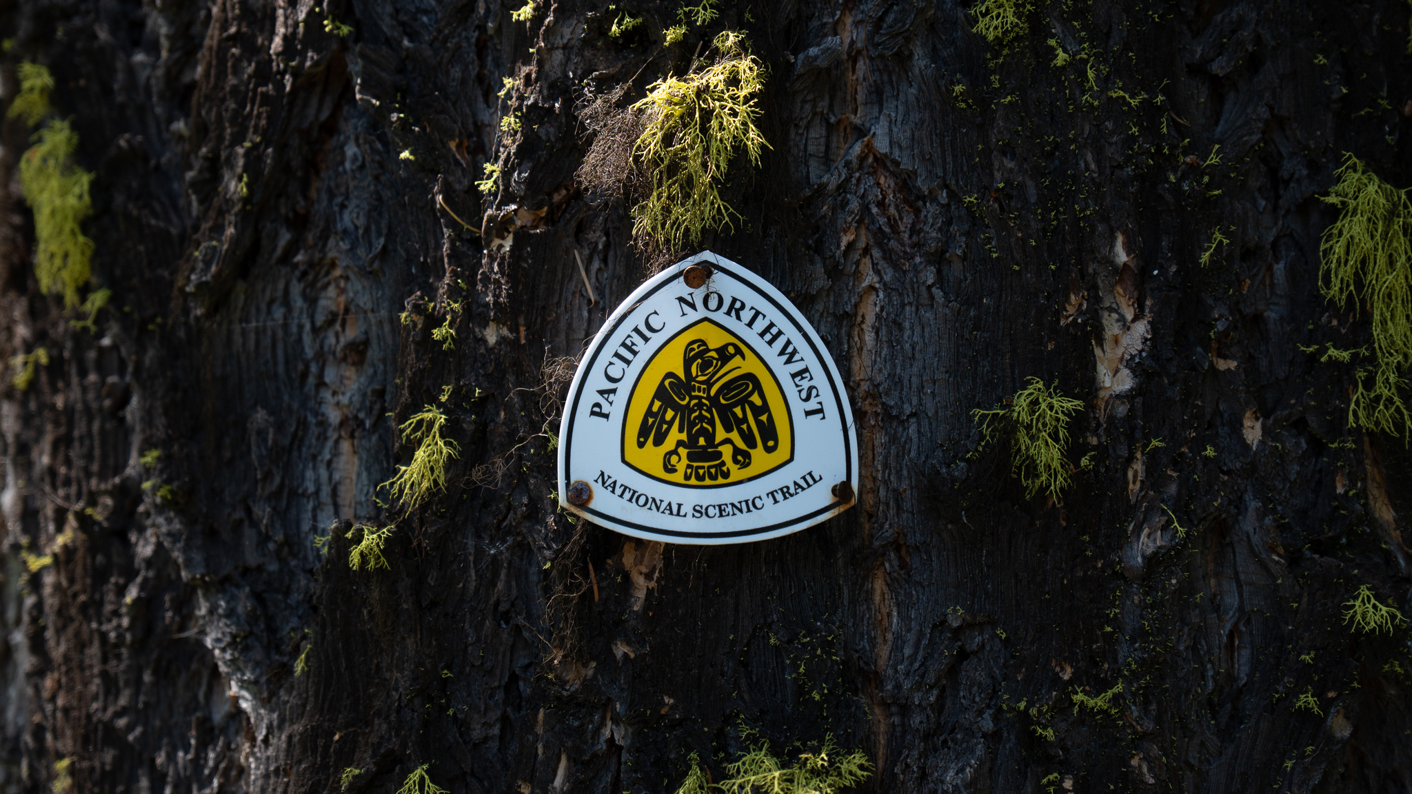
Bonners Ferry, ID to Metaline Falls, WA
Section Overview
- Miles: 86.39
- Days: 3.5
- Total Miles: 354.69
- Total Days: 17.5
Day 15
I enjoyed my near-zero day in Bonners Ferry eating as much food as I could get my hands on, but early on I decided I would be heading out the next day. I was able to secure a ride from a local trail angel who graciously picked me up early in the morning and drove me back to the trail. As soon as I was dropped off I took off down the road, not wanting to waste any time. The stretch from Bonners Ferry to Metaline Falls included the Lion’s Head Ridge or Bushwhack, two of the most notorious stretches of the PNT. Leaving Bonners Ferry I still hadn’t made the decision whether to stay on the official PNT and drop into a thick five mile bushwhack that seemed to take people anywhere from five to nine hours or climb up high and follow an eight mile ridge scramble to Lookout Mountain that seemed to take about eight to 11 hours to complete.
The decision point was a long way away, though. I left Bonners Ferry as early as I could to cover nearly the 30 miles and 8,000+ feet of elevation that lay between me and the start of the bushwhack or scramble. Directly in front of me was a large, glacially formed, valley known as the “Purcell Trench” with the Kootenai River snaking its way through the farm country. The valley was mostly devoid of trees, which gave me a continuous view of the giant wall of mountains that marked the beginning of the Selkirk Range, which I would be climbing up into shortly.
Crossing the valley was enjoyable in the early morning before it got too hot. Aside from myself there were only a couple farmers out tending to their fields as I passed through. As I crossed over the Kootenai River, it dawned on me that I had forgotten a sandwich I had bought to eat for dinner for the night. Immediately I started working on the mileage in front of me in my head trying to figure out if it was possible to reach Metaline Falls without having to skip a meal.


The climb up out of the Purcell Trench turned out to be brutal. The trees quickly became sparse and the trail became completely exposed to the morning sun. Thankfully there was water at the base of the climb and I was able to fill up the three liters I could carry, but after that it was about five miles and 3,300 feet of vert before the next water. When I did reach it, I found a small tickle in a large swarm of mosquitos I had to suffer through to refill my water bottles.
The climb up out of the valley began passing more easily and views of began opening up as I entered a relatively fresh burn zone. As I reached the ridge line I would more or less be following for the next seven miles, I could immediately see how different the Selkirks were going to be than the Purcells. Aside from the peaks I reached in the Purcells, I felt like there was a lot of time in old growth forests. Immediately in the Selkirks, I had sweeping views and massive granite rock walls rising up out of the alpine trees.


The stretch of trail after reaching the ridge was stunning. The mountain views were nearly continuous as the single track trail rose and fell with the ridge and skirted around a couple peaks. The reward of being up high and following easy trail compared to the Northwest Peak Alternate rock hopping did not go unappreciated. I enjoyed walking through the alpine trees before eventually ascending up and over Long Mountain. I was rewarded with my first views of Pyramid Peak, which I shortly pass beneath.


After leaving Long Mountain behind, I dropped a bit off the ridge and followed the trail back up to Pyramid Pass. The pass would be my high point until I reached camp for the night. I took a short break at the pass and then dropped down to Pyramid Lake 700 some feet below. The lengthy day was starting to wear on me as I dropped towards the lake. There was a small group camping there and I could hear them enjoying the cool water. I passed by with a quick wave and regained all of the elevation I had just lost from Pyramid Pass.
I finally reached Ball Lake, which marked the end of my long day out of Bonners Ferry, my biggest day by far of the PNT, and the start of the Lions Head Ridge. I was exhausted and set up my shelter quickly. While I was eating dinner, I enjoyed the small alpine lake tucked in a large granite bowl. Small trout were leaping out of the water to snag the small flies that hovering just over the surface.

Day 16 – Lions Head Ridge Alternate
I woke up early the morning of my Lions Head Ridge or bushwhack decision to crystal clear skies. It gave me early hope that the ridge alternate would be viable. I climbed up from Ball Lake to a ridge and was able to survey the entire Lions Head Ridge Alternate. I didn’t realize at the time, but I could see Lookout Mountain, the end of the ridge stretch of the alternate nearly 10 miles away.

I took one more look at the warning about the high route provided by the PNT Association:
“Lions Head Ridge has class 2 and class 3 scrambling. Hiking with a partner is strongly encouraged.”
With my decision made and very much without a partner, I began the descent off of the ridge toward the point where the alternate split from the official PNT. With so much thought into what the ridge scramble was going to look like, I wasn’t prepared for the bushwhack down to the start of the alternate. The trail disappeared almost immediately and I found myself doing everything in my power just to stay on my feet and not slip down the hill. From time to time a very faint trail would appear in the dense undergrowth, but it was a battle just to reach the alternate.
Finally I hit the split and I began climbing back up. Without even a faint trail, I was now on my own for route choice. I quickly was met with some granite steps I had to work my way up using all of my extremities. After working my way along the south side of a small peak I reached a minor pass where my maps indicated I needed to switch to the north side of the ridge.


Pretty much immediately I got too low on the north flank of the ridge and I found myself side-hilling along a steep granite slab that gave way to a large fall. I was holding onto small alpine trees pushing their way out of the granite trying not to slip. Eventually I got fed up with walking along the steep slab and turned directly uphill and bushwhack/climbed my way up into the thicker trees above me. This turned out to be a good decision. While I wasn’t necessarily moving faster, I was certainly on more solid footing. While climbing up I was also able to make out Lookout Mountain Lookout from my precarious position.
I reached a flatter stretch of the ridge and was able to take a needed rest before continuing. I restarted moving forward, but was immediately met with a ~100 foot drop off directly in front of me. I clearly couldn’t keep moving forward and took a moment to take in my options. After a few minutes I found a route down the south side of the ridge where I could cross underneath the gap in the ridge before regaining the elevation. It was a steep descent, but looked fairly straight forward and quite manageable. Partway down the chosen route, I took a big step down with my right foot, dropping all of my weight onto a large log. Suddenly the log disintegrated underneath me and I pitched forward, flipping nearly upside down, thankfully being stopped immediately by a tree.
I took a pause, still in an awkward position, to take stock of the situation and make sure I hadn’t done any serious damage. My left leg was awkwardly twisted under the log that I had trusted with my weight. It took a minute to pull myself out of the branches that had caught me. When I finally got on my feet, the frustration with myself set in. I had made a poor decision by trusting my footing on such a large step down and the tree that stopped me likely prevented a serious 20 foot fall into a patch of granite rocks. My right foot was aching along the outside towards my pinkie toe, but somehow that was the only discomfort I was feeling. I finished the descent down very keen on not trusting my full weight on anything without testing it, crossed beneath the gap in the ridge, and climbed back up to the crest.

With new caution I kept moving forward. I had just under two miles of off trail travel to reach a stream where I could replenish my water and wanted to get there quickly to take a break. Thankfully the stretch to there was less of a scramble and more just side-hilling. My only mistake was staying a bit to high and having to drop more steeply down some granite slaps than I needed to. Once I reached the water I happily took a decent break. I was definitely growing mentally tired from the off trail travel and route finding I was having to do.
After my pause at the water, I had to skirt underneath a buttress, still side-hilling on massive granite slabs, before climbing back up to the crest of the ridge. From here the end of the scramble suddenly felt very close, which was well timed because a thunderstorm had formed to the north. I could hear thunder rumbling as I the afternoon approached. Thankfully the travel moving forward was fairly straightforward. There were a few spots that required some route finding and moderate scrambling, but mostly it was just trying to find the path of least resistance through thick brush.

The last mile was relatively easy going. After escaping the trees and brush to the granite boulder ridge that led to the lookout, I had amazingly large and solid rocks to hop between to reach the tower. My body was starting to fatigue from the constant side-hilling and route finding all day, but I was enjoying the final ridge scramble to the summit of Lookout Mountain. The last stretch was steep, but rewarding as I reached the lookout – much to the surprise of the day hiker who had come up the actual trail to the summit – 7.5 hours after I left Ball Lake. The day hiker left soon after I arrived and I gladly spent some time at the summit alone enjoying the 360 views.


Once I got below treeline, the fatigue from the long day began to really set in. I had a 4,000+ foot descent to reach Upper Priest Lake and it felt like it dragged on forever. At one point, while filling up water, I walked away without my trekking pole and had to climb back into the culvert on the side of the forest service road to find it. Eventually I reached the end of the descent and found myself on the Idaho Centennial Trail. I turned north and followed the soft trail along the east bank of Upper Priest Lake. I wasn’t fully able to appreciate the nice tread beneath me because feet were aching in a way I hadn’t felt since the first few days on the CDT in May. The off trail travel had done a number on my feet and my new shoes.
By the time I reached camp towards the north end of Upper Priest Lake, I was absolutely spent. I set up camp before moving down to the lake shore to try and get some respite from the mosquitoes that had taken offense to me pitching my shelter where I did. Thankfully there was a bear box at the campsite, so my nightly routine of finding a suitable place for my food was very quick and easy. I climbed into my shelter, happy I had managed 20 miles even with the Lions Head Ridge Alternate, and attempted to fall asleep to the whining of mosquitoes.
Day 17
The next day I got moving early to make sure I could cover enough miles to put Metaline Falls within reach the next day. The brief walk along the rest of Upper Priest Lake was enjoyable in the early morning. Not too long after leaving camp, I rounded a corner and could see the remnants of what must have been a very raucous party the prior night. I quietly approached, quickly realizing the campers’ tents were spread out all around the trail. As I passed through their camp, I mused to myself at how protective I had been about my food and this group had left the beach strewn with food as if they were setting up a bear buffet.

Soon after departing Upper Priest Lake, I was back on forest service roads heading west toward the border of Idaho and Washington. It didn’t take long to reach a small marker on the side of the road, where I sat down to take a short break. I was excited to have completed the first two states of the trail, but it wasn’t lost on me that I still had 3/4 of the trail left to go. I stayed at the marker for a few minutes before continuing towards Mataline Falls.

Crossing into Washington definitely gave me a boost. Having spent the previous five years in the state has made it feel like home to me. Entering the state felt great, even if I was somewhere around 900 miles from finishing the trail. Washington welcomed me with cool temperatures and rain as I left the road for a single track trail that climbed up to Hall Mountain Ridge. I happily threw on my rain coat and enjoyed the small, infrequently traveled, trail as it wound its way through the trees and clouds.


At some point along the ridge, I passed into Colville National Forest, which, aside from private lands, I would be traveling through for the next 150 miles. Being in a new National Forest certainly didn’t mean the trail would change very much. I dropped off the ridge along a steep descent to Noisy Creek that I followed out to the south end of Sullivan Lake. I was nearing the end of my day and I was hoping to stay at the campground on the south end of Sullivan Lake. Unfortunately, the campground was full from what I could tell, so I continued along the east bank of the lake for a few more miles to reach a tiny, mostly flat spot just off the trail. As I arrived, the clouds above me started dumping rain and I was forced to quickly set up my shelter to keep mostly dry. Thankfully the storm passed and I enjoyed a peaceful night listening to the water only a few feet from me.

Day 18
I woke up on the quiet lakeside with the anticipation of the town day only a few hours ahead of me. The previous day I had covered nearly 35 miles, which set me up to have a quick 8 mile trek into the tiny town of Metaline Falls. While I was walking along the road towards town, I was looking ahead on my map at the highway I was supposed to join without much excitement. I found a small road that looked like it cut off a small portion of the highway. I decided to head down the route, which turned out to be an abandoned road. It was a bit eerie walking along the pavement, which was slowly being consumed by the land around it.
Eventually, after the road became more and more overgrown, I popped out on the highway and started heading down towards Metaline Falls. The highway was very windy with a fairly narrow shoulder and as the first 18-wheeler passed, I realized it was good I was on the road early in the morning.
Soon I was in Metaline Falls enjoying a large breakfast at the cafe on the main street. With such a short day into town and a relatively short stretch to the next town, I had decided I wasn’t going to stay the night. After consuming everything I could at the cafe, I got a meager resupplied at the market across the street and walked to the park to charge my electronics and repack my food bag.


